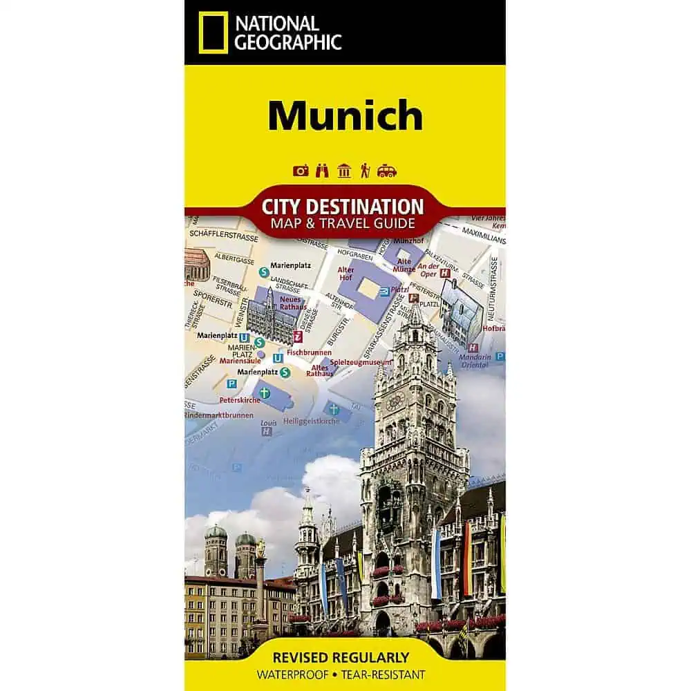
Munich folding travel map from National Geographic’s City Destination series, with a detailed street map of the Bavarian capital on the front and regional touring maps on the back. Printed on synthetic paper, it stays readable through rain, beer gardens, and constant refolding.
- Publisher: National Geographic, City Destination series
- Front: large-scale Munich street map with 3-D styled drawings of famous buildings and landmarks
- Labeled: hotels, places of worship, notable buildings, theaters, parks, information centers, and other points of interest
- Transit and parking: subway stations, regional railway stations, and parking areas
- Reverse: Romantic Road and Bavarian Alps map covering the Romantic, Alpine, Castle, Thuringia, and Alpine-Baltic roads
- Reverse: Schloss Nymphenburg palace map, regional maps, and point-of-interest notes
- Diagrams: Munich (Franz Josef Strauss) International Airport, plus the U-Bahn subway and S-Bahn suburban rail networks
- Index: streets, neighborhoods, parks, museums, monuments, government buildings, subway stations, and hotels
- Language: English, with a multi-language legend
- Material: waterproof, tear-resistant synthetic paper
Map Shop stocks this title alongside other City Destination maps.


