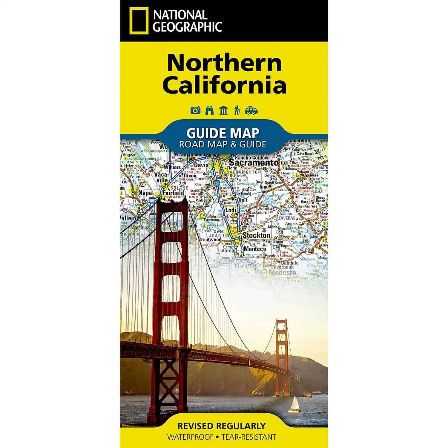
National Geographic Guide Map: Northern California
A full road map paired with travel guide content for the northern half of the Golden State. Useful for planning routes from the Redwood coast to the Sierra Nevada, including stretches where cell signal drops out.
- Publisher: National Geographic Maps, Guide Map series
- Coverage: Northern California, with San Francisco and Yosemite National Park content
- Insets: San Francisco Bay Area, Sacramento, Stockton, Lake Tahoe, and Redwood National and State Parks
- Roads: highways, tollways, and other roads shown
- Distances: mileage marked along major highways
- Points of interest: hundreds of recreational, ecological, cultural, and historical sites
- Scenic route: the Lost Coast scenic drive on the North Coast
- Extras: a park service site chart and regional climate information
- Index: cities and towns listed for quick lookup
- Material: waterproof, tear-resistant synthetic paper
- Language: English
Folded, it slips into a glove box or daypack. Map Shop carries it for travelers who want a printed backup to GPS on Highway 1, in Yosemite Valley, or around the Tahoe Basin.


