



New York City, Upper Manhattan Map Art by City Prints
Price range: $39.00 through $229.00
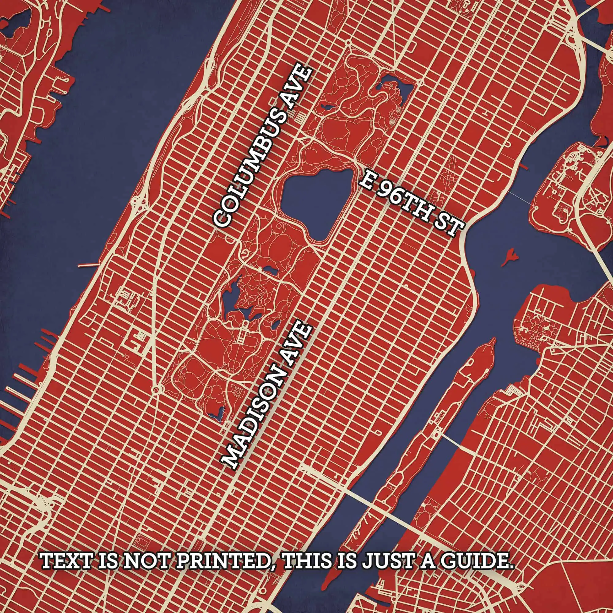
Map art print of (Upper) Manhattan, NYC, NY.
City Prints Finishing Options
We offer a variety of finishing options for all our City Prints. Whether you need something ready to hang in your corporate office or something quick and ready-to-gift, we have an option for you.

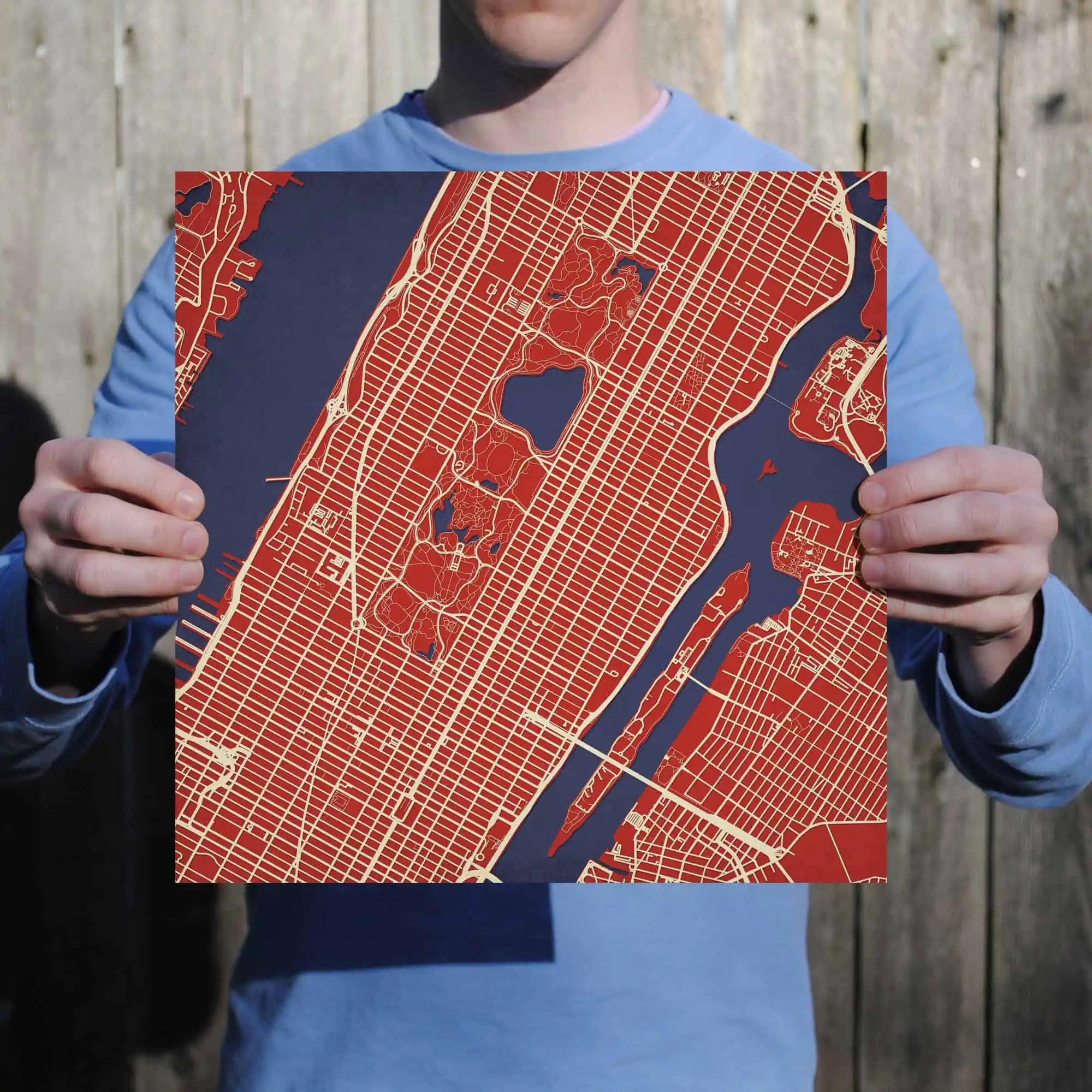
Unframed
Each print is printed on high-quality 105# Stardream Pearlescent Paper. This heavy paper stock has a subtle metallic shimmer that gives your print a unique visual effect. The back also a SKU number on the top right to help with orienting your print for hanging.

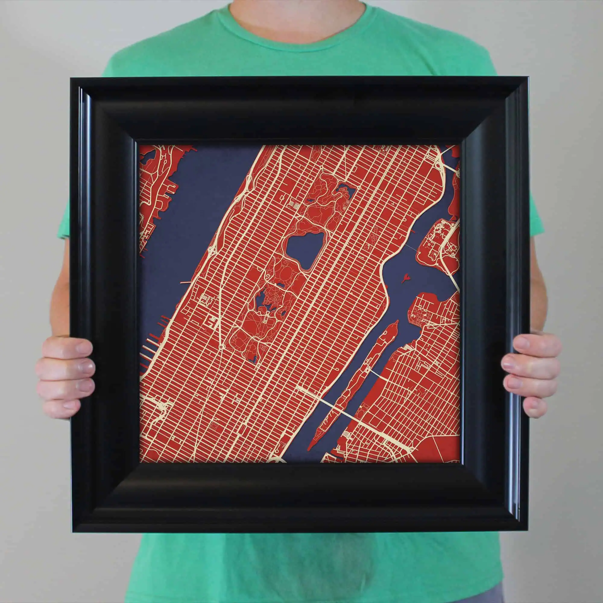
Poly Frame
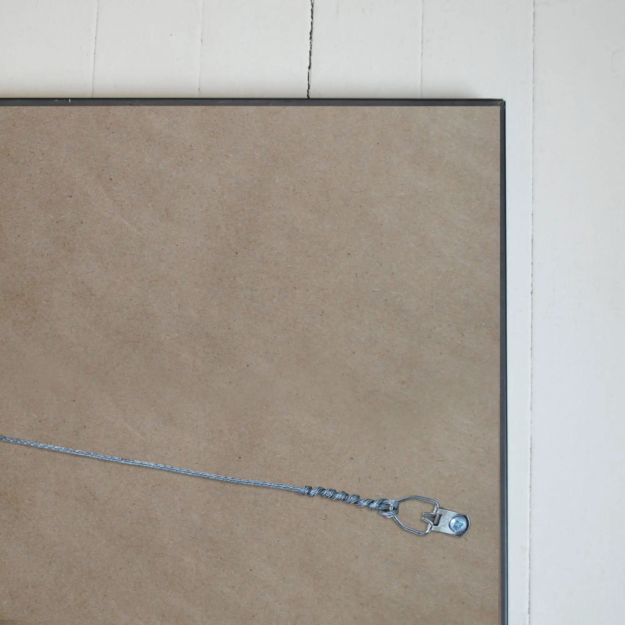
The size of this frame will vary depending on the size of the map you created. Frames are 16.5″ x 16.5″ for 12″ x 12″ prints and frames are 16.5″ x 20.5″ for 12″ x 16″ maps. Our frames have a black 2.75” wide heavy polystyrene molding. We choose to mount the prints without a glass/acrylic overlay, which shows off the unique properties of our paper stock when it hits the light. The back of the frame is sealed with a dust cover for added protection. Industrial silver hanging hardware is fixed to the back of the frame so it’s ready to hang on your wall.

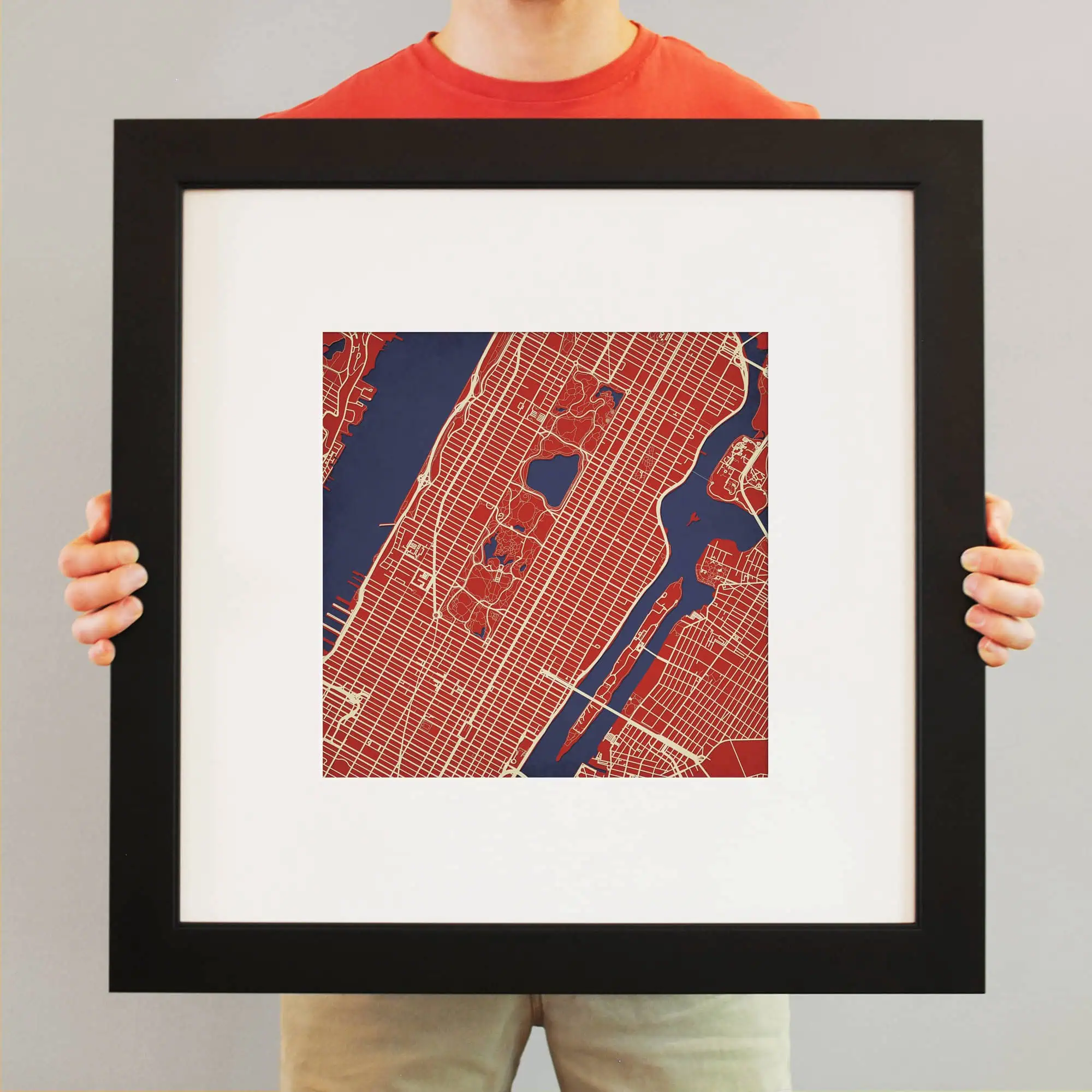
Wood Frame & Matte
The size of this frame will vary depending on the size of the map you created. Frames are 23″ x 23″ for 12″ x 12″ prints and frames are 15.75″ x 19.75″ for 12″ x 16″ maps. Both frames have a black 1.75” wide genuine-wood molding. The print is enhanced with a soft white acid-free mat, which is bevel cut and placed on top of the print. The print and matt are protected by a premium crystal-clear acrylic overlay. The back of the frame is sealed with a dust cover for added protection. Industrial silver hanging hardware is bolted to the back of the frame so it’s ready to hang on your wall.

Gallery-Wrapped Canvas
The size of canvases will vary depending on the size of the map you created. Canvas are 30″ x 30″ or 14" x 14" for square pmaps and canvases are 30″ x 40″ or 14″ x 18″ for rectangular maps. We print directly on high-quality canvas, then stretch the image over heavy gauge 1.5″-deep wood stretcher bars. Corners are braced with additional bars and hardware is attached to the back so your piece is ready to hang.
Please note that all City Prints are printed on demand just for you and we don't stock them. For this reason, all City Prints are not eligible for return. We fully guarantee our products and will do everything in our power to ensure you're satisfied with your purchase. We'd sold 50,000 City Prints to happy homes and we want to continue this trend. Thank you!