
[accordion]
[accordion-item title="What Are USGS Regional Raised Relief Maps?"]
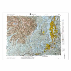
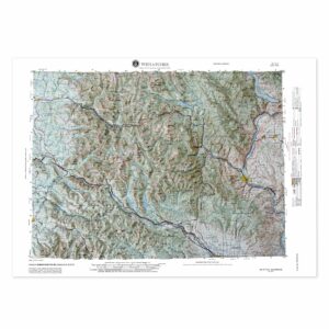
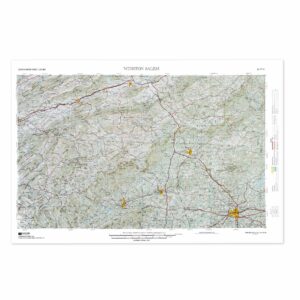
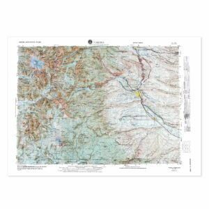
USGS regional raised relief maps are 3D molded maps that depict large portions of the United States organized by landform and physiographic region. These maps are based on official data from the U.S. Geological Survey and are designed to highlight natural features across broad geographic zones. They are often used in classrooms and labs to study large-scale topographic patterns and geological regions.
[/accordion-item]
[accordion-item title="What Regions Are Included?"]
The collection includes raised relief maps of major physiographic regions such as the Rocky Mountain System, Interior Plains, Appalachian Highlands, and the Pacific Mountain System. These maps allow for detailed study of terrain across multiple states and are a great supplement to national and state-level maps. Each map emphasizes elevation and topography over political boundaries.
[/accordion-item]
[accordion-item title="Why Use a Regional Relief Map Instead of a State Map?"]
Regional raised relief maps are ideal when your focus is on natural landforms rather than political boundaries. These maps show how elevation and terrain connect across state lines, which helps students and researchers understand the broader geography of the U.S. They are especially useful for studying ecosystems, watersheds, tectonic activity, and bioregional planning.
[/accordion-item]
[accordion-item title="Are These Maps Accurate?"]
Yes. These maps are developed using verified elevation data from the U.S. Geological Survey. Vertical exaggeration is used to make landforms more visible, especially when showing large-scale terrain patterns. All maps are carefully molded and labeled to provide accurate topographic representation of each region.
[/accordion-item]
[accordion-item title="Can You Frame a Regional Raised Relief Map?"]
Yes. Regional raised relief maps can be framed in open shadowboxes or mounted on walls without glass to preserve their 3D features. A custom wood frame adds visual presence and turns the map into a lasting display piece. These maps look great in science labs, school hallways, offices, or educational centers focused on natural sciences.
[/accordion-item]
[accordion-item title="Are These Maps Good for Earth Science Education?"]
Absolutely. These maps are frequently used in earth science, environmental science, and geography classrooms to show large-scale terrain and elevation changes across U.S. regions. They are especially effective for tactile learners who benefit from hands-on exploration of landforms. Regional maps also help students understand the connections between geology, climate, and ecology across different parts of the country.
[/accordion-item]
[accordion-item title="What Size Are Regional Raised Relief Maps?"]
Most USGS regional raised relief maps range from 24 to 36 inches wide. This gives enough space to show terrain in detail while still being easy to handle and display. Each product page lists exact dimensions and framing recommendations.
[/accordion-item]
[accordion-item title="What Is the Hubbard Scientific Brand?"]
Hubbard Scientific is the most established name in raised relief educational maps. Their regional maps are widely used in U.S. classrooms and universities for teaching topography and regional geology. All maps are made in the United States, and The Map Shop is the exclusive manufacturer of Hubbard Scientific products. Learn more about the Hubbard Scientific brand and history here.
[/accordion-item]
[accordion-item title="Why Buy Regional Raised Relief Maps from The Map Shop?"]
We are the exclusive manufacturer of all Hubbard Scientific regional raised relief maps and have decades of experience producing high-quality, educational 3D maps. Based in Charlotte, NC, The Map Shop is trusted by teachers, geologists, and institutions nationwide. We offer expert support and fast shipping to help you get the right map for your educational or professional needs.
[/accordion-item]
[/accordion]
Price range: $89.99 through $279.99
Price range: $89.99 through $279.99
Price range: $99.99 through $299.99
Price range: $89.99 through $279.99
We offer a custom framing service for all our Raised Relief maps. Please CONTACT US if we can help you find a particular raised relief map since alternate options may be more suitable for your needs, but note that custom raised relief maps are not cost-effective unless high quantities are ordered.