What Are Pacific Islands NOAA Charts?
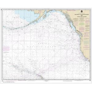
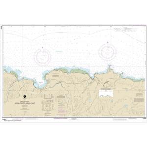
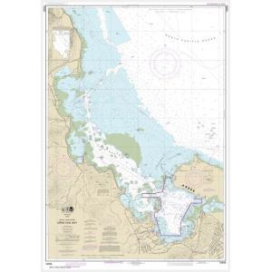
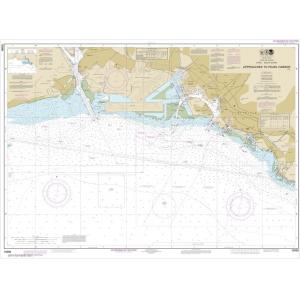
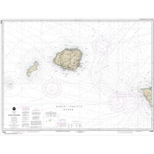
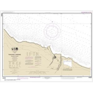
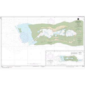
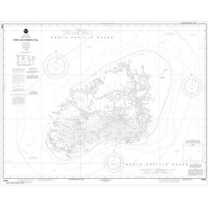
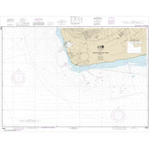
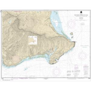
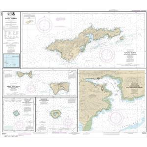
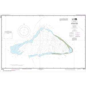
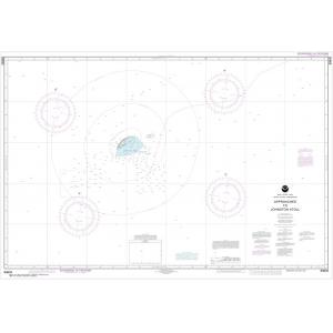
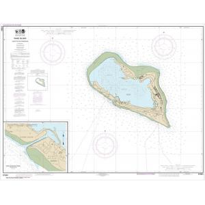
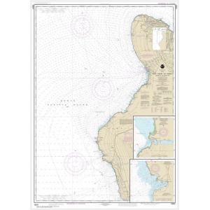
Pacific Islands NOAA charts are official maritime maps historically produced by the National Oceanic and Atmospheric Administration to document the waterways surrounding U.S. Pacific territories. These charts provide detailed hydrographic data including depth soundings, reefs, channels, harbors, and shoreline features. While they are no longer updated for active navigation, Pacific Islands NOAA charts remain valuable for reference and are popular decorative pieces capturing the maritime geography of these island regions.
Pacific Islands NOAA charts are official maritime maps historically produced by the National Oceanic and Atmospheric Administration to document the waterways surrounding U.S. Pacific territories. These charts provide detailed hydrographic data including depth soundings, reefs, channels, harbors, and shoreline features. While they are no longer updated for active navigation, Pacific Islands NOAA charts remain valuable for reference and are popular decorative pieces capturing the maritime geography of these island regions.
What Are the Different Types of Pacific Islands NOAA Charts?
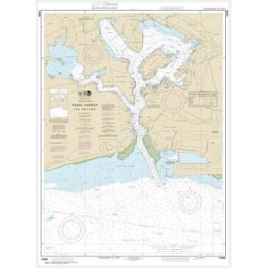
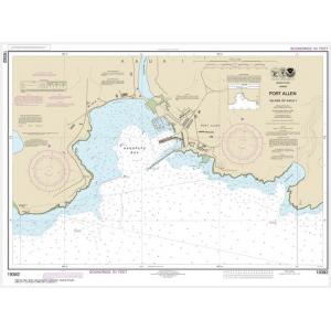
Our Pacific Islands NOAA chart collection includes charts for Hawaii, Guam, American Samoa, the Northern Mariana Islands, and other Pacific territories. Charts detail coastal waters, reefs, lagoons, fishing grounds, and offshore shipping routes. These maps are ideal for collectors, educators, and anyone seeking authentic Pacific Island wall décor.
Our Pacific Islands NOAA chart collection includes charts for Hawaii, Guam, American Samoa, the Northern Mariana Islands, and other Pacific territories. Charts detail coastal waters, reefs, lagoons, fishing grounds, and offshore shipping routes. These maps are ideal for collectors, educators, and anyone seeking authentic Pacific Island wall décor.
Are Pacific Islands NOAA Charts Updated?
No. NOAA has discontinued its printed chart program, and these charts are no longer updated. They are preserved for their historical and cartographic value. For customers who need current information with a traditional look, we offer custom nautical charts generated from NOAA’s latest digital data. Create your custom Pacific Islands chart here.
No. NOAA has discontinued its printed chart program, and these charts are no longer updated. They are preserved for their historical and cartographic value. For customers who need current information with a traditional look, we offer custom nautical charts generated from NOAA’s latest digital data. Create your custom Pacific Islands chart here.
What Areas Do Pacific Islands NOAA Charts Cover?
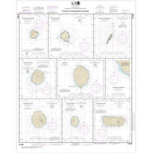
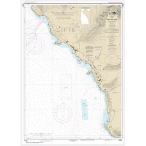
Pacific Islands NOAA charts cover the coastal waters of Hawaii, Guam, American Samoa, and other U.S. Pacific territories. They provide detailed depictions of harbors, channels, reefs, and island coastlines, offering a comprehensive view of navigation routes and fishing areas in the Pacific Ocean.
Pacific Islands NOAA charts cover the coastal waters of Hawaii, Guam, American Samoa, and other U.S. Pacific territories. They provide detailed depictions of harbors, channels, reefs, and island coastlines, offering a comprehensive view of navigation routes and fishing areas in the Pacific Ocean.
Can I Order a Custom Pacific Islands Chart?
Yes. We can create custom Pacific Islands charts focused on any location in these waters. Specify the island or region, scale, and layout to highlight your home port, fishing area, or sailing route. Custom charts can be printed on standard or waterproof material and finished with mounting or framing for display. Design your Pacific Islands chart here.
Yes. We can create custom Pacific Islands charts focused on any location in these waters. Specify the island or region, scale, and layout to highlight your home port, fishing area, or sailing route. Custom charts can be printed on standard or waterproof material and finished with mounting or framing for display. Design your Pacific Islands chart here.
What Finishing Options Are Available?
Pacific Islands NOAA charts can be printed on standard bond paper or waterproof synthetic material. Mounting on foam board and professional framing options are available to transform these charts into ready-to-hang art. Mounted charts are ideal for pin tracking, while framed versions provide a polished decorative display. Explore finishing options here.
Pacific Islands NOAA charts can be printed on standard bond paper or waterproof synthetic material. Mounting on foam board and professional framing options are available to transform these charts into ready-to-hang art. Mounted charts are ideal for pin tracking, while framed versions provide a polished decorative display. Explore finishing options here.
Can I Find a Specific Pacific Islands NOAA Chart by Number?
Yes. Use the search bar at the top-right of our website to enter your chart number for fast results. Alternatively, you can browse this category to visually locate the Pacific Islands chart you need.
Yes. Use the search bar at the top-right of our website to enter your chart number for fast results. Alternatively, you can browse this category to visually locate the Pacific Islands chart you need.
What Makes Pacific Islands NOAA Charts Ideal for Decorative Use?
These charts showcase the tropical coastlines and intricate reef systems of the Pacific Islands. Their detailed cartography and unique island geography make them perfect for framing and displaying in coastal homes, offices, or yacht clubs. Selecting a chart of a meaningful island creates a personalized, conversation-worthy decorative piece.
These charts showcase the tropical coastlines and intricate reef systems of the Pacific Islands. Their detailed cartography and unique island geography make them perfect for framing and displaying in coastal homes, offices, or yacht clubs. Selecting a chart of a meaningful island creates a personalized, conversation-worthy decorative piece.
Why Buy Pacific Islands NOAA Charts from The Map Shop?
With more than 30 years of experience, The Map Shop is a trusted source for NOAA charts. We print every Pacific Islands chart in-house in Charlotte, NC using high-quality materials and expert finishing techniques. Our catalog includes thousands of charts available for quick printing, mounting, and framing, ensuring top quality and reliable service. Read reviews here or learn more about our company here.
With more than 30 years of experience, The Map Shop is a trusted source for NOAA charts. We print every Pacific Islands chart in-house in Charlotte, NC using high-quality materials and expert finishing techniques. Our catalog includes thousands of charts available for quick printing, mounting, and framing, ensuring top quality and reliable service. Read reviews here or learn more about our company here.