
What Are Mid-Atlantic NOAA Charts?
Mid-Atlantic NOAA charts are official maritime maps historically produced by the National Oceanic and Atmospheric Administration to chart the waters of the Mid-Atlantic region. These charts provide detailed hydrographic information including depth soundings, shoreline features, navigational aids, and harbor layouts from Delaware down through North Carolina. While these printed charts are no longer updated for active navigation, they remain valuable as reference materials and decorative pieces highlighting this vital maritime corridor.
Mid-Atlantic NOAA charts are official maritime maps historically produced by the National Oceanic and Atmospheric Administration to chart the waters of the Mid-Atlantic region. These charts provide detailed hydrographic information including depth soundings, shoreline features, navigational aids, and harbor layouts from Delaware down through North Carolina. While these printed charts are no longer updated for active navigation, they remain valuable as reference materials and decorative pieces highlighting this vital maritime corridor.
What Are the Different Types of Mid-Atlantic NOAA Charts?
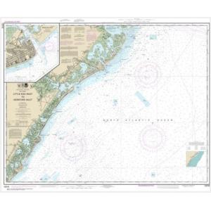
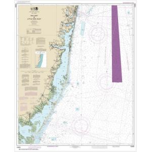
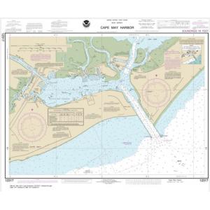
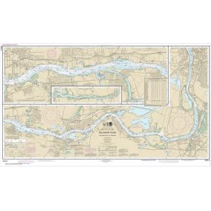
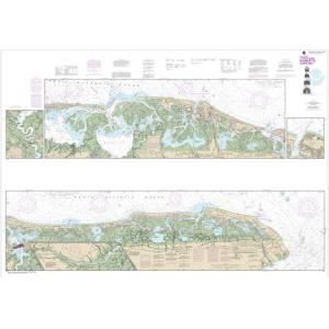
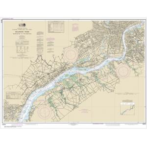
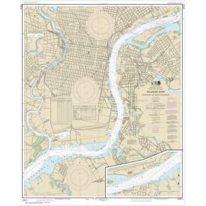
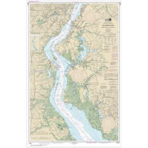
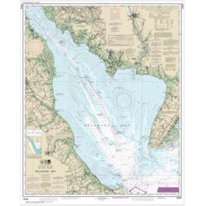
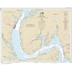
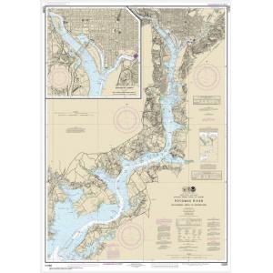
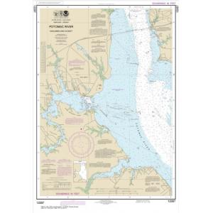
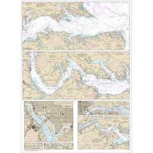
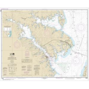
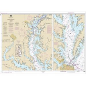
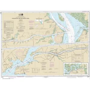
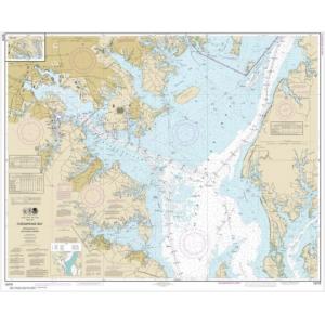
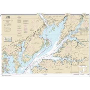
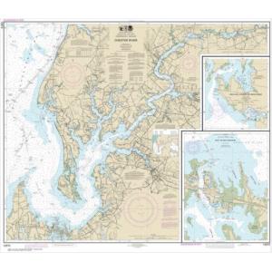
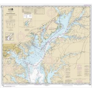
Our Mid-Atlantic NOAA chart collection covers a variety of regions and waterways. This includes Delaware Bay, the New Jersey coast, Chesapeake Bay, Virginia’s Hampton Roads, and North Carolina’s Outer Banks and Cape Fear region. Charts also depict major shipping channels, fishing grounds, and offshore areas along the Mid-Atlantic seaboard. These detailed maps are perfect for collectors and wall décor in coastal homes and businesses.
Our Mid-Atlantic NOAA chart collection covers a variety of regions and waterways. This includes Delaware Bay, the New Jersey coast, Chesapeake Bay, Virginia’s Hampton Roads, and North Carolina’s Outer Banks and Cape Fear region. Charts also depict major shipping channels, fishing grounds, and offshore areas along the Mid-Atlantic seaboard. These detailed maps are perfect for collectors and wall décor in coastal homes and businesses.
Are Mid-Atlantic NOAA Charts Updated?
No. NOAA has discontinued its printed chart program, and these Mid-Atlantic charts are no longer updated. They are preserved for historical and cartographic purposes. For those who prefer a printed chart with current data, we offer custom nautical charts generated from NOAA’s latest digital information. Create your custom Mid-Atlantic chart here.
No. NOAA has discontinued its printed chart program, and these Mid-Atlantic charts are no longer updated. They are preserved for historical and cartographic purposes. For those who prefer a printed chart with current data, we offer custom nautical charts generated from NOAA’s latest digital information. Create your custom Mid-Atlantic chart here.
What Areas Do Mid-Atlantic NOAA Charts Cover?
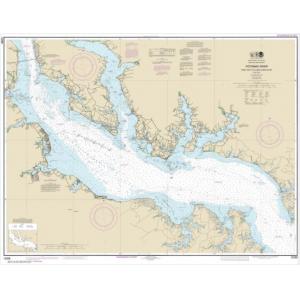
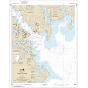
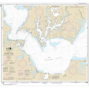
Mid-Atlantic NOAA charts cover the U.S. coastline from Delaware south to North Carolina. Key areas include Delaware Bay, Chesapeake Bay, Norfolk Harbor, Cape Hatteras, the Outer Banks, and offshore Atlantic fishing regions. The charts provide comprehensive coverage of bays, estuaries, and harbors along this stretch of coastline.
Mid-Atlantic NOAA charts cover the U.S. coastline from Delaware south to North Carolina. Key areas include Delaware Bay, Chesapeake Bay, Norfolk Harbor, Cape Hatteras, the Outer Banks, and offshore Atlantic fishing regions. The charts provide comprehensive coverage of bays, estuaries, and harbors along this stretch of coastline.
Can I Order a Custom Mid-Atlantic Chart?
Yes. We can create custom Mid-Atlantic charts for any location within this region. Specify your area of interest, scale, and paper type to highlight a home port, fishing spot, or sailing route. Custom charts can be mounted or framed for professional-quality decorative displays. Design your Mid-Atlantic chart here.
Yes. We can create custom Mid-Atlantic charts for any location within this region. Specify your area of interest, scale, and paper type to highlight a home port, fishing spot, or sailing route. Custom charts can be mounted or framed for professional-quality decorative displays. Design your Mid-Atlantic chart here.
What Finishing Options Are Available?
Mid-Atlantic NOAA charts can be printed on standard paper or waterproof synthetic material. We offer mounting on foam board for easy display and custom framing for a polished, ready-to-hang finish. These options make Mid-Atlantic charts ideal for wall décor in homes, offices, and yacht clubs. View finishing options here.
Mid-Atlantic NOAA charts can be printed on standard paper or waterproof synthetic material. We offer mounting on foam board for easy display and custom framing for a polished, ready-to-hang finish. These options make Mid-Atlantic charts ideal for wall décor in homes, offices, and yacht clubs. View finishing options here.
Can I Find a Specific Mid-Atlantic NOAA Chart by Number?
Yes. Enter the chart number into the search bar at the top-right of our website for quick access. You can also browse this category to visually locate the Mid-Atlantic chart you need.
Yes. Enter the chart number into the search bar at the top-right of our website for quick access. You can also browse this category to visually locate the Mid-Atlantic chart you need.
What Makes Mid-Atlantic NOAA Charts Ideal for Decorative Use?
These charts showcase the unique waterways and coastal features of the Mid-Atlantic region. Their detailed cartography makes them excellent for framing and displaying in beach homes, offices, or yacht clubs. A chart of a meaningful port, bay, or fishing area creates a personalized, conversation-worthy piece of art.
These charts showcase the unique waterways and coastal features of the Mid-Atlantic region. Their detailed cartography makes them excellent for framing and displaying in beach homes, offices, or yacht clubs. A chart of a meaningful port, bay, or fishing area creates a personalized, conversation-worthy piece of art.
Why Buy Mid-Atlantic NOAA Charts from The Map Shop?
With over 30 years of experience, The Map Shop is a trusted source for NOAA charts. We print every Mid-Atlantic chart in-house in Charlotte, NC using high-quality materials and expert finishing techniques. With thousands of charts available for quick printing, mounting, and framing, we ensure top quality and reliable service. Read customer reviews here or learn more about our history here.
With over 30 years of experience, The Map Shop is a trusted source for NOAA charts. We print every Mid-Atlantic chart in-house in Charlotte, NC using high-quality materials and expert finishing techniques. With thousands of charts available for quick printing, mounting, and framing, we ensure top quality and reliable service. Read customer reviews here or learn more about our history here.