


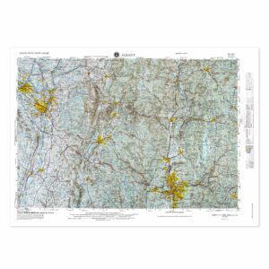
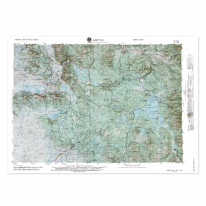
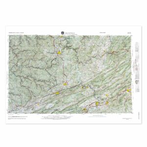
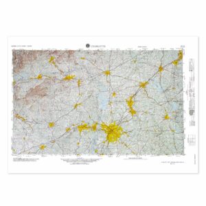
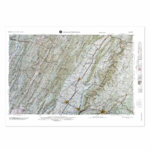
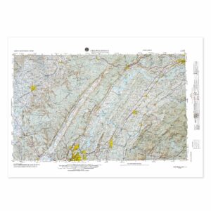
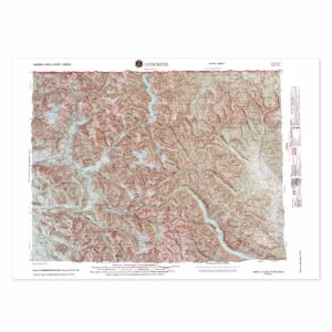
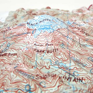
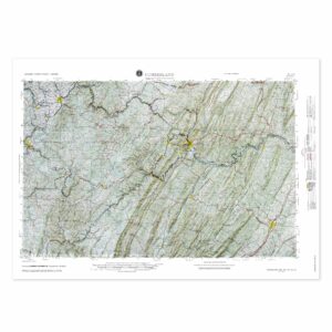
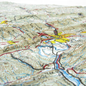
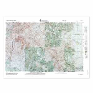
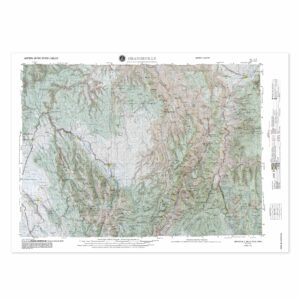
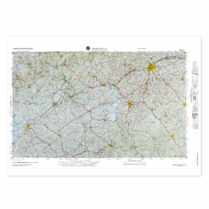
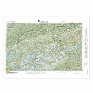
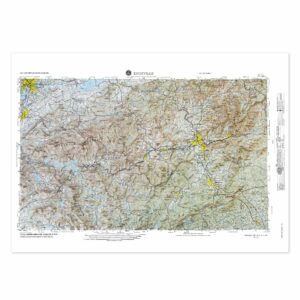
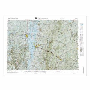
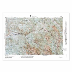
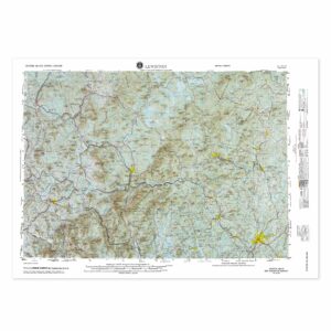
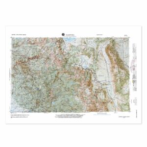
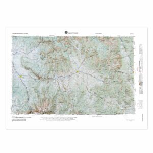
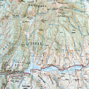
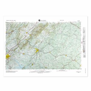
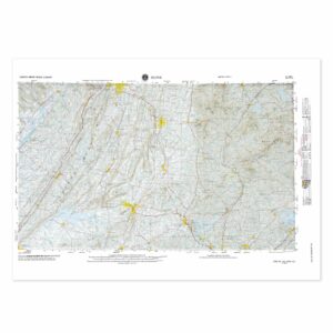
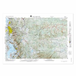
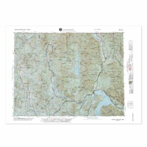
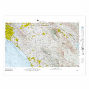
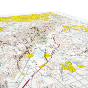
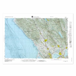
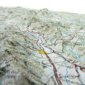
USGS Regional Raised Relief Maps
The USGS is the sole science agency for the Department of the Interior of the United States. They love maps almost as much as we do. Take your USGS regional map to a new level by making it a raised relief map.
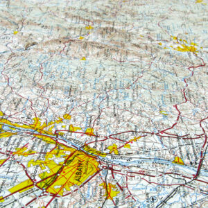
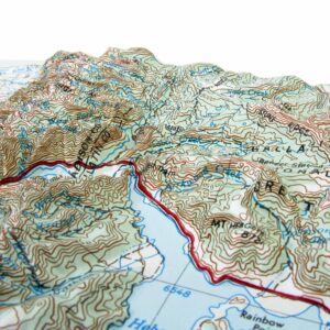
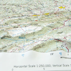
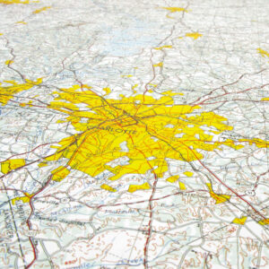
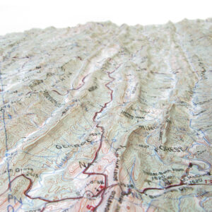
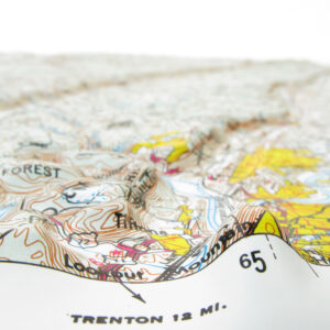
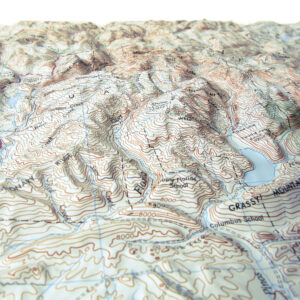
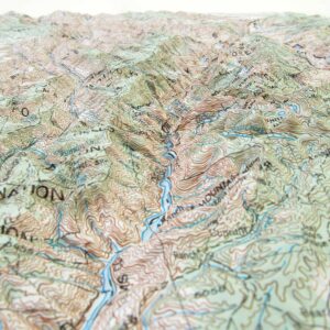
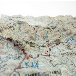
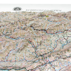
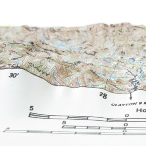
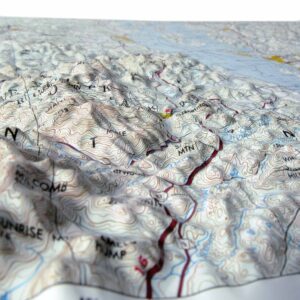
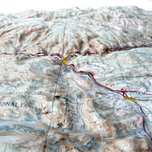
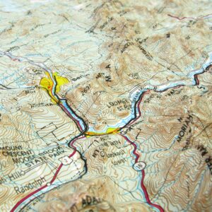
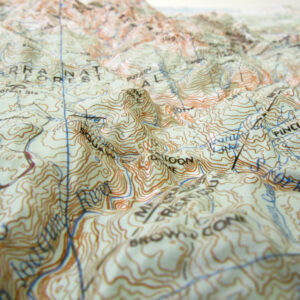
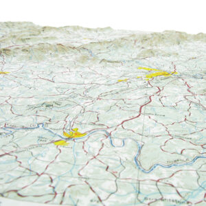
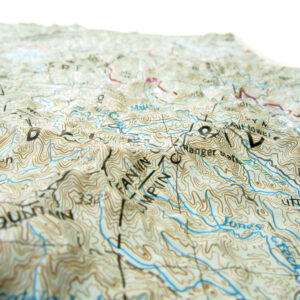
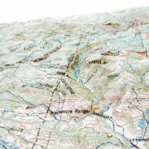
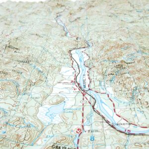
Satisfy both your intellectual and artistic appetites with these unique maps. Raised Relief maps deliver geographic data molded into a touchable three-dimensional form. Feel the changes in the landscape’s topography. These molded maps allow you to more fully sense and understand real-world changes in elevation. Raised Relief maps are Educational, aesthetic, and interactive. These maps literally make you feel something!
Out of stock
$64.99 – $199.99
$64.99 – $199.99
$64.99 – $199.99
$64.99 – $239.99
Out of stock
$64.99 – $199.99
$64.99 – $239.99
$64.99 – $194.99
$64.99 – $199.99
$64.99 – $234.99
$64.99 – $199.99
$64.99 – $239.99
$64.99 – $239.99
$64.99 – $234.99
$64.99 – $199.99
$64.99 – $239.99
$64.99 – $199.99
$64.99 – $239.99
$64.99 – $204.99
$64.99 – $239.99
$64.99 – $239.99
$64.99 – $239.99
Out of stock
$64.99 – $199.99
$64.99 – $234.99
$64.99 – $239.99
We offer a custom framing service for all our Raised Relief maps. Please CONTACT US if we can help you find a particular raised relief map since alternate options may be more suitable for your needs, but note that custom raised relief maps are not cost-effective unless high quantities are ordered.
