

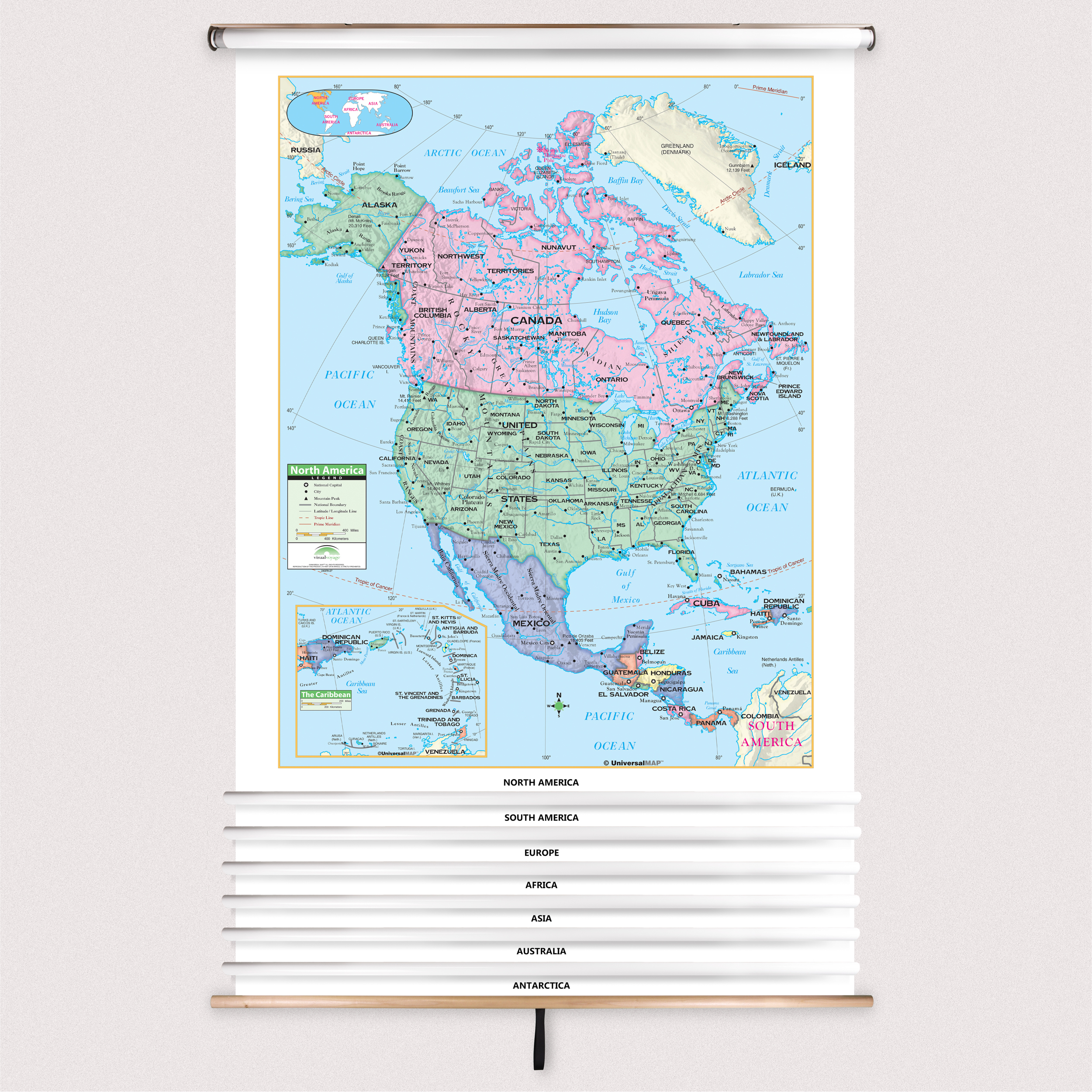
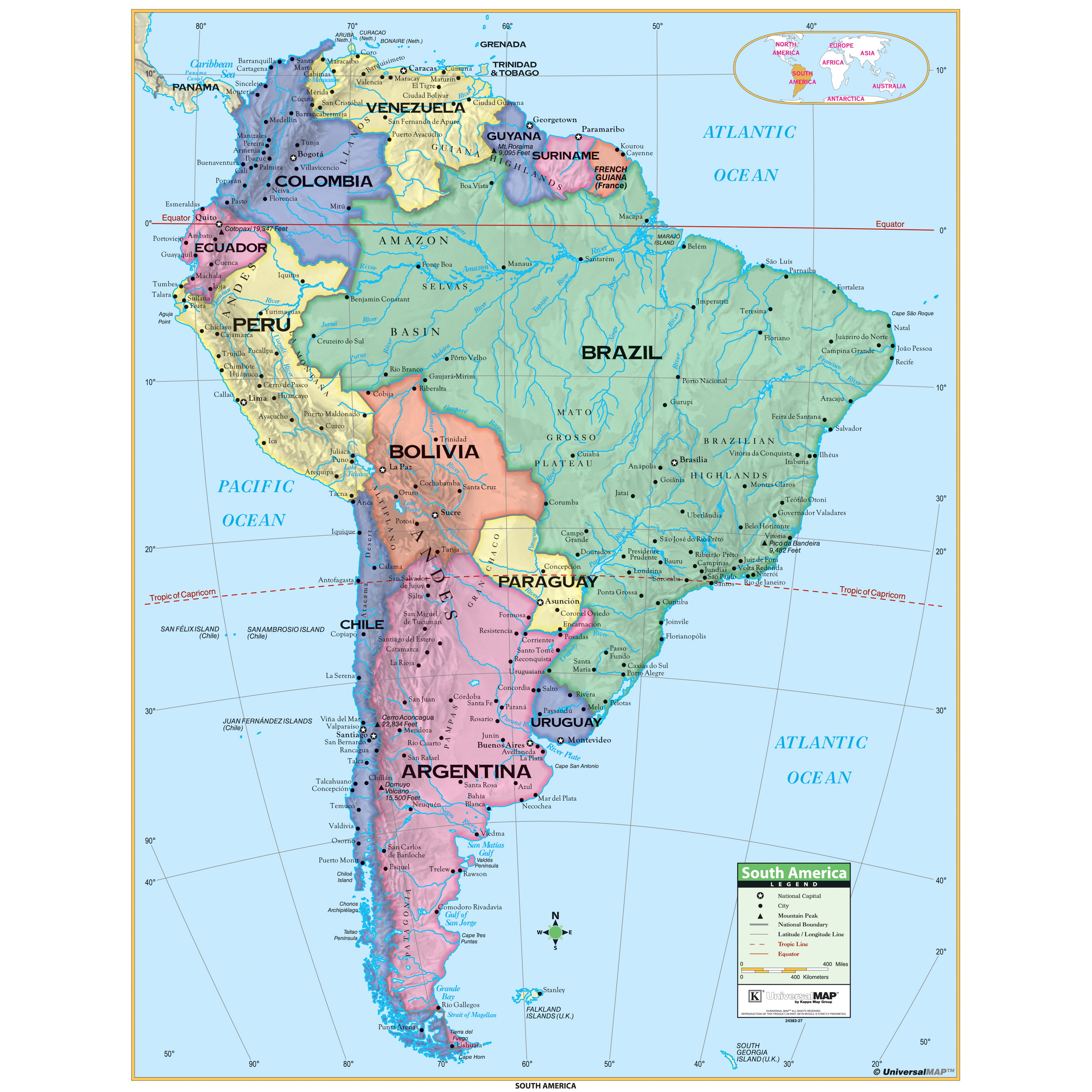
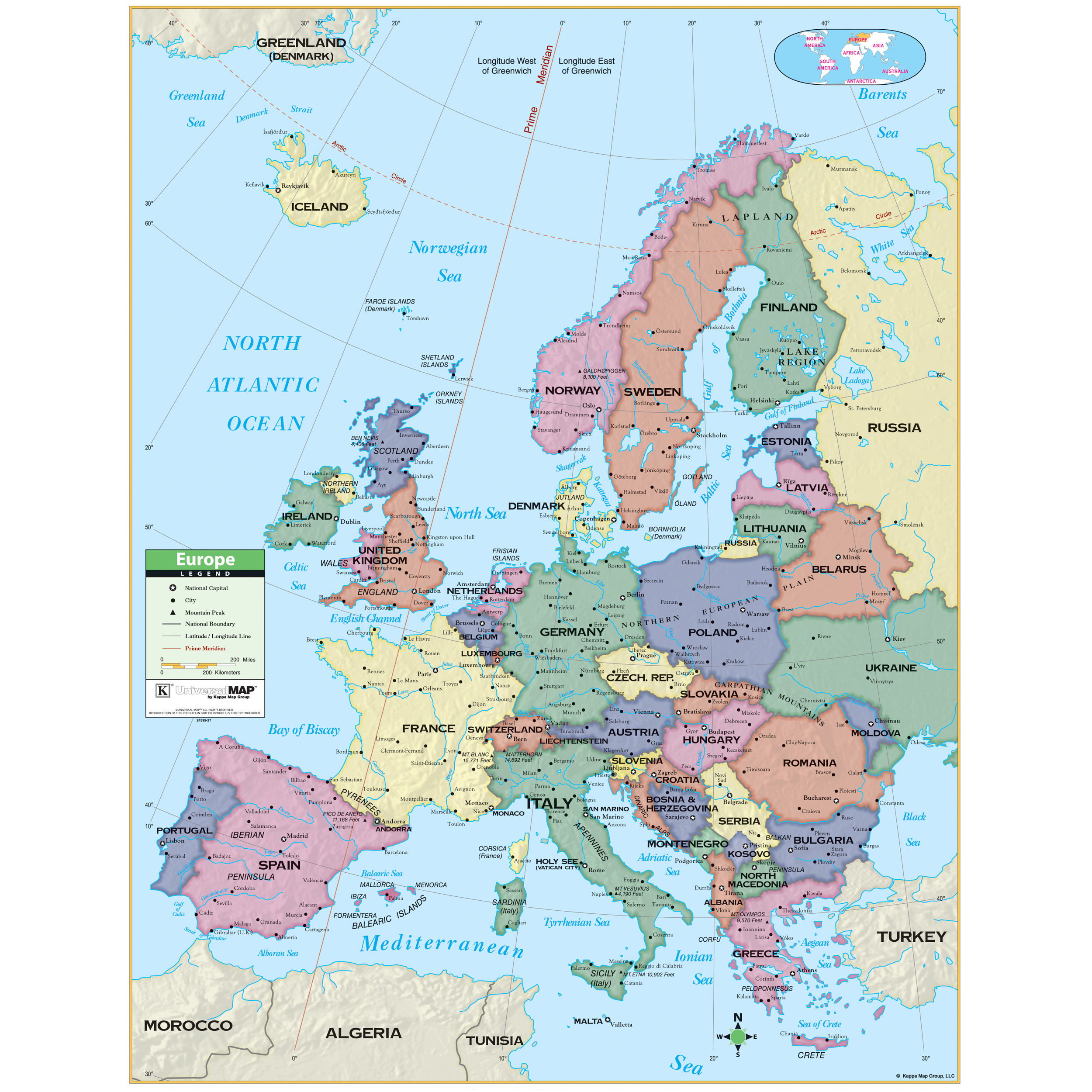
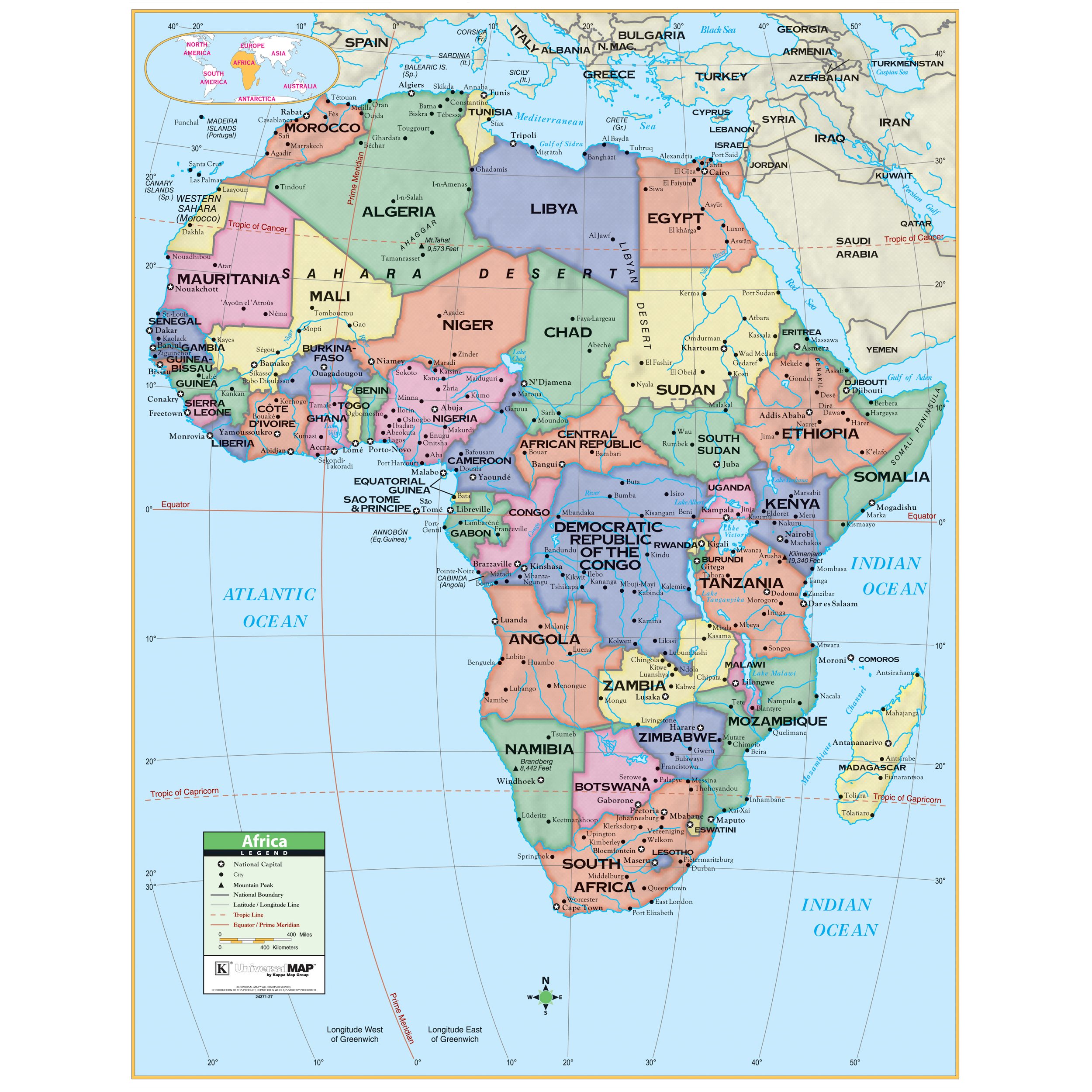
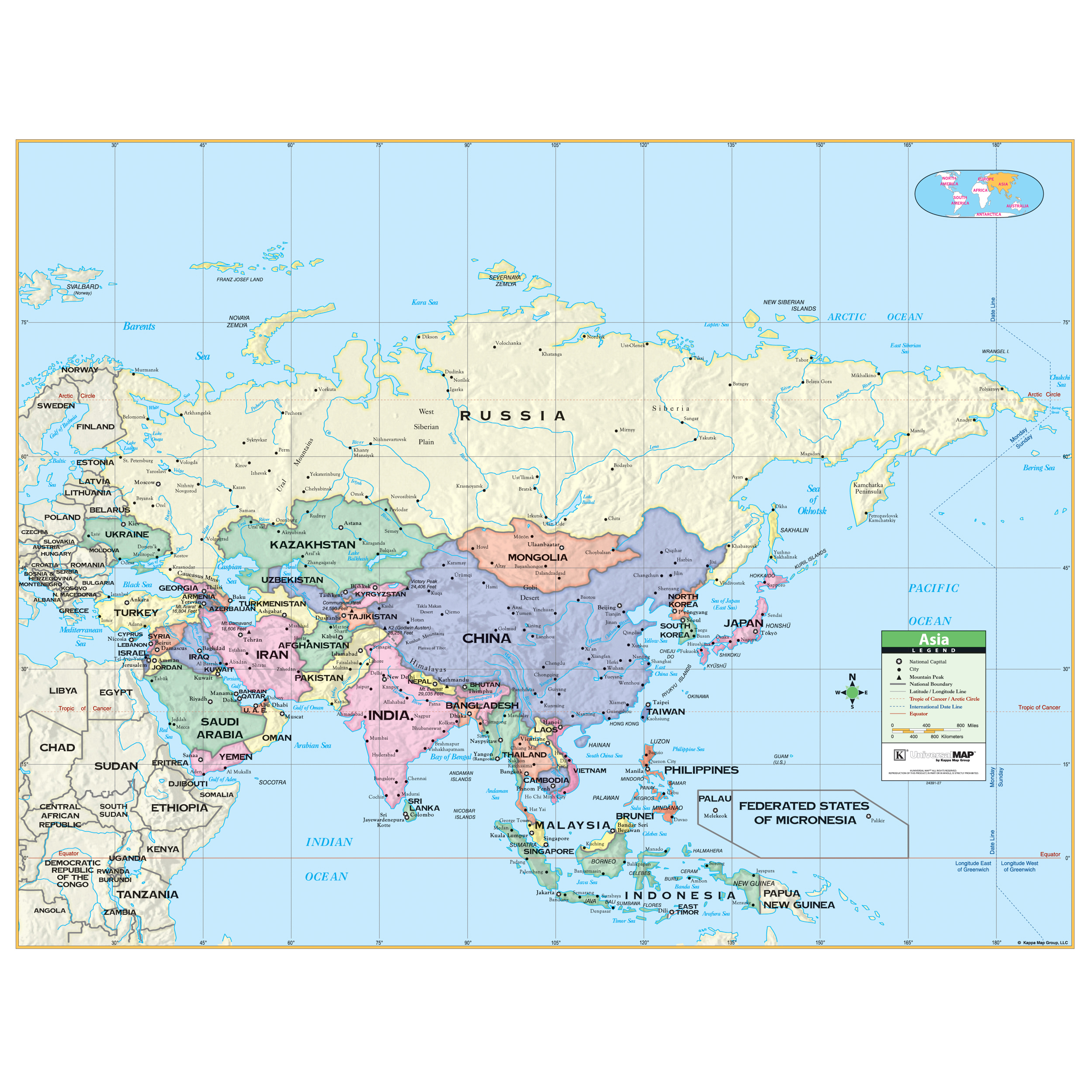
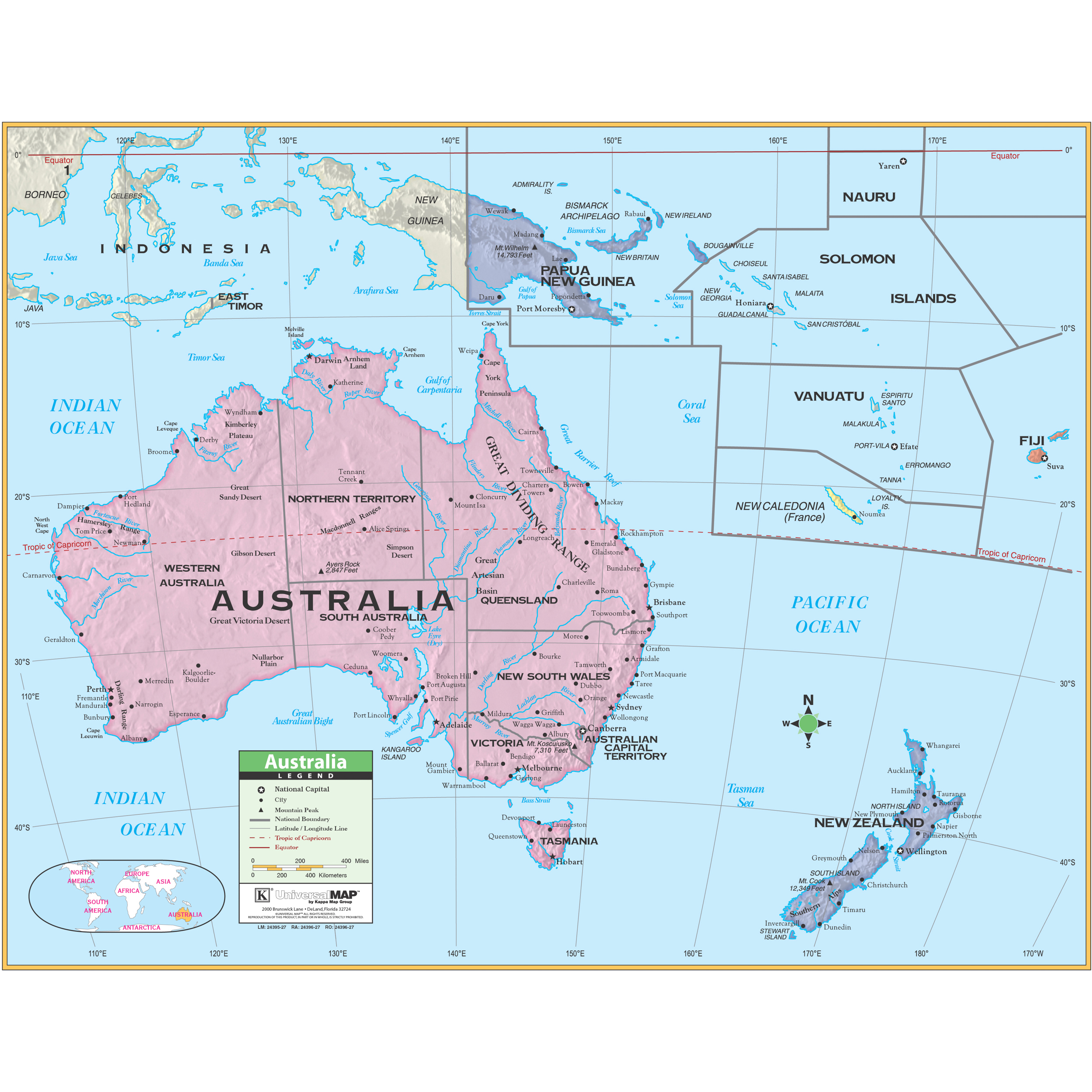
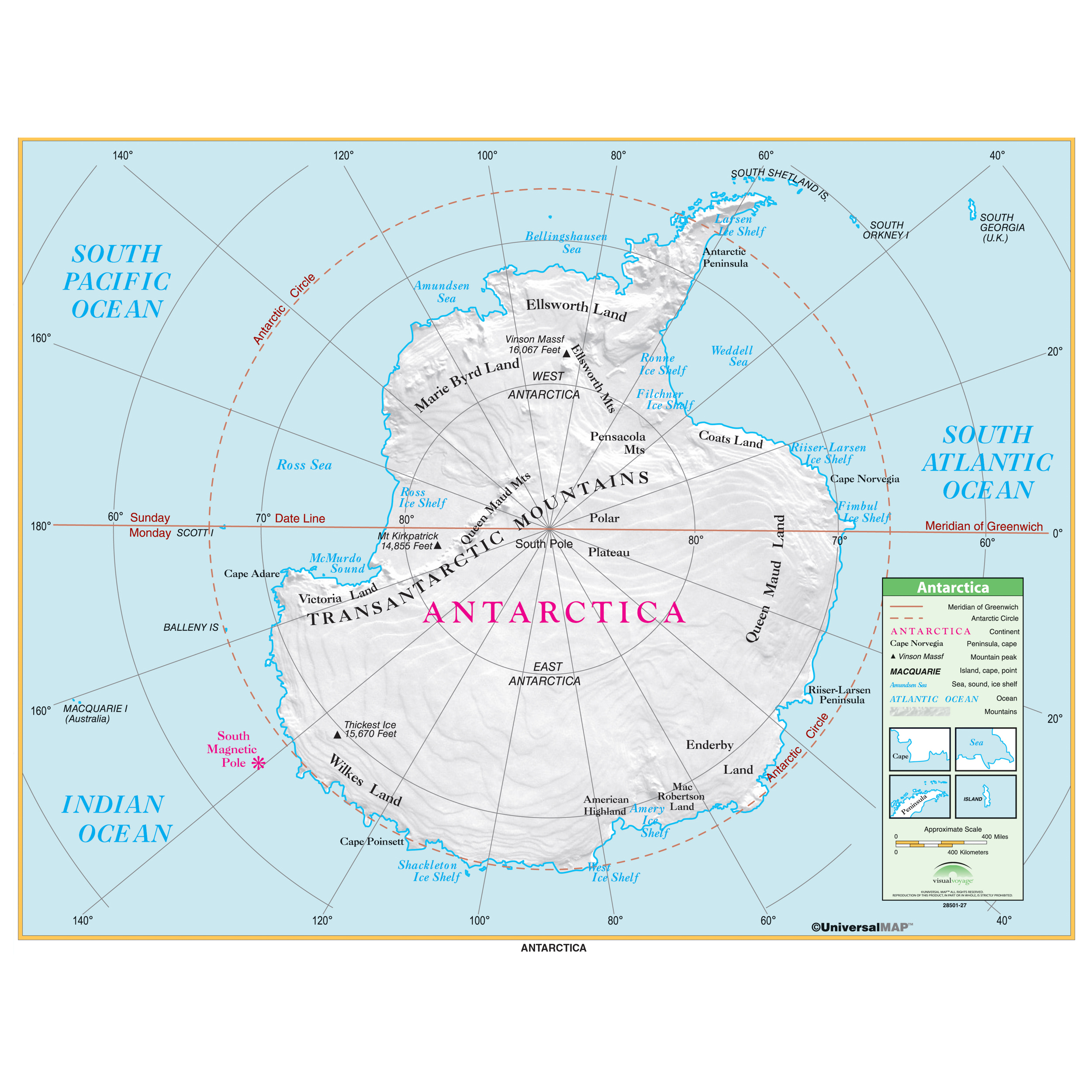
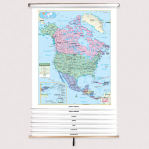


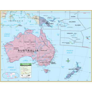
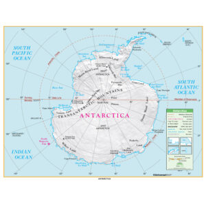
7-Map Primary Continent Spring Roller Set w/Backboard by Kappa
$1,064.99
Published: 2005
Printed By: MapShop
Ideal for grades K-3.
Print-on-Demand Series
This product is printed on demand using our large format inkjet printers. Print-on-demand maps are always in stock and you can order as many as you need all at once to have them ship together!
Spring Roller - Set
We know finding the perfect spring roller can be a difficult task. With all the options it can be overwhelming to find the perfect match. With our new sping roller sets, you no longer have to worry about finding your one true map.
Each map will be laminated then loaded on the spring roller. The map in the back will have a pulldown bar and ring. The map in the front will have a white plastic flip bar. Pull down both maps using the pulldown bar to view the front map. To view the back map, you can flip the front map over the back of the spring roller using the flip bar.
This price does include Button Mounting Brackets to help with hanging and installation once received!
Installation Instructions Custom Spring RollersReturns
Unfortunately, with how these sets are made, we are not able to accept returns on our spring roller sets. If they are damaged in transit or you received the wrong order, please CONTACT US and we will get your map order corrected!
