

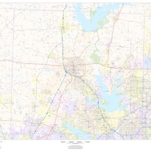
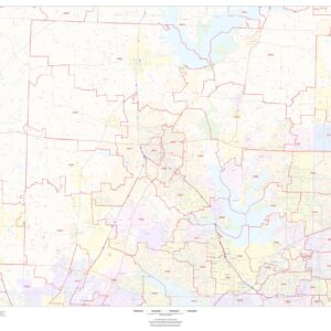
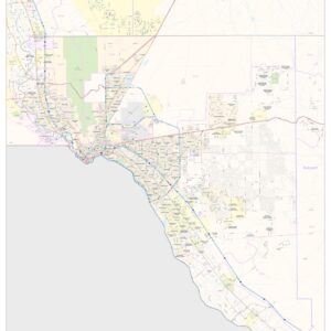
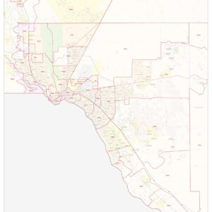
Texas Maps
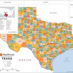
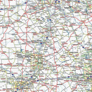
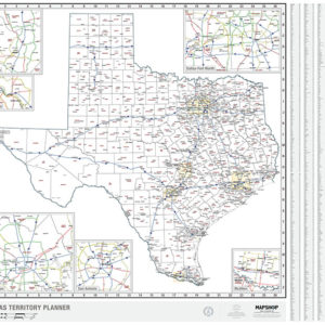
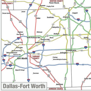
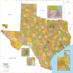
Texas is the second most populous and second largest state of the United States of America. Geographically located in the south-central part of the country, Texas shares an international border with the Mexican states of Chihuahua, Coahuila, Nuevo León, and Tamaulipas to the south and borders the U.S. states of New Mexico to the west, Oklahoma to the north, Arkansas to the northeast, and Louisiana to the east. Texas has an area of 268,820 square miles (696,200 km2) and a growing population of over 26.9 million residents (July 2014). This page may not include all the maps we carry for the state of Texas but these are some of the more popular maps. Please click here to search for the city or region that’s most important to you.
Maps by State
Maps by State
Maps by State
Maps by State
Maps by State
Maps by State
Maps by State
Maps by State
Maps by State
Maps by State

Folding Travel Maps - United States
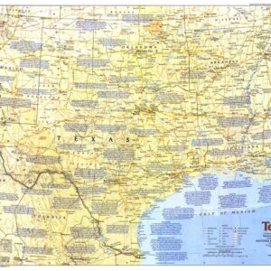
National Geographic – United States – Texas and Oklahoma – Adventure Folding Travel Map

Folding Travel Maps - United States

Folding Travel Maps - United States
Folding Travel Maps - United States
Maps by State
Maps by State
Maps by State
All Products
All Products
Maps by State

Maps by State
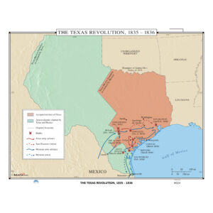
History Maps


City Prints Maps
