

So Many Lines, So Many Directions!
Technology has brought advancement in many aspects of our life, so much so that some skills have been completely replaced by advanced technology.
Map reading skills have been replaced by GPS and google maps. However, these skills are still very important because they fill in where GPS and Google maps have failed; for instance when your phone battery is low, or when there is no reception, even when there’s a language barrier; a physical map is your go-to guide.
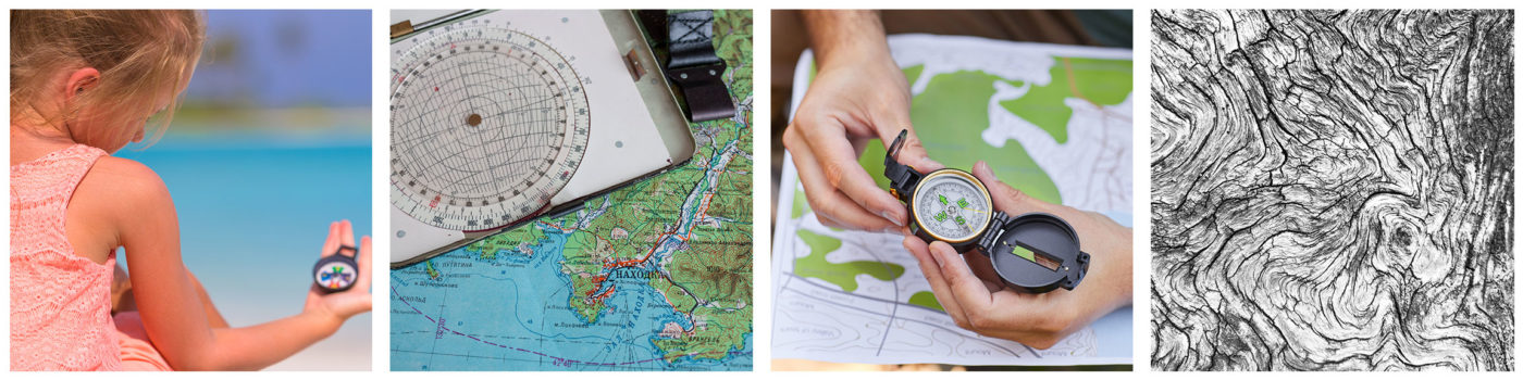
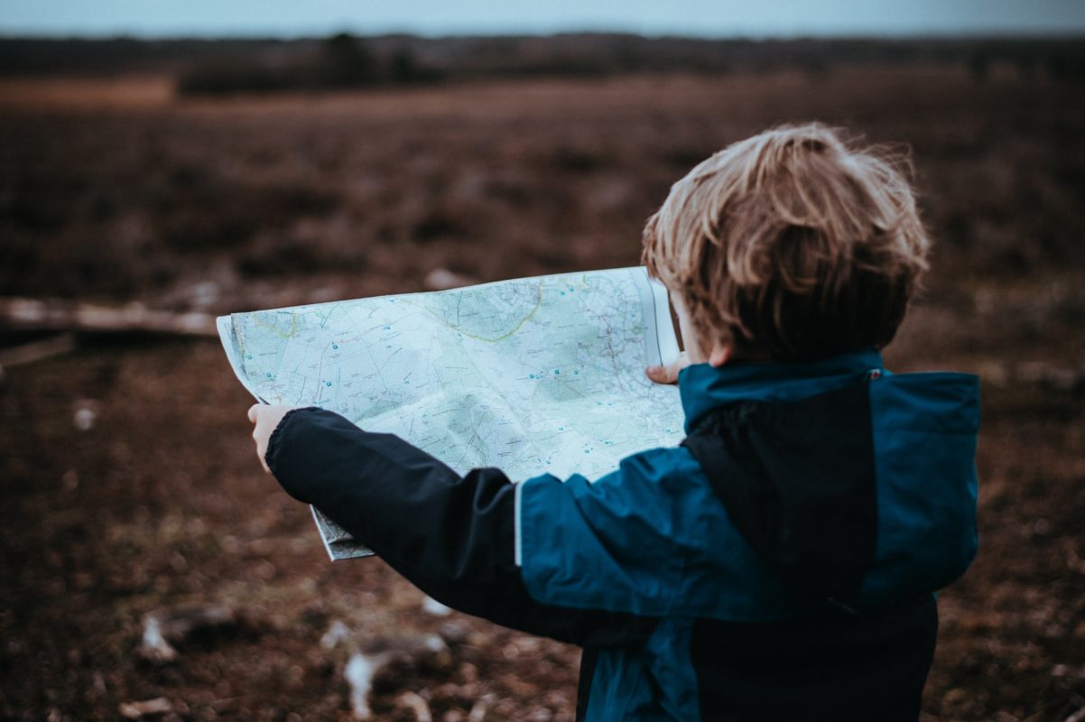
With technology or not, it is important to know how to read a map; you never know when you’ll need these skills.
So how do you read a map?
Choosing the Correct Map
There are many different maps with different uses. Topographic maps show details of roads, terrain, distance, and points of interest.
There are folding maps that are useful during road trips to highlight roads, byways, and fly-overs.
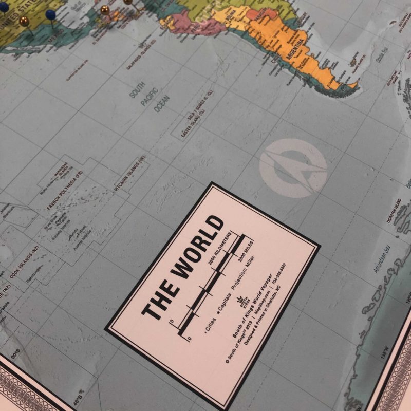
Tourists can use travel maps, world maps, and tourist maps to show the city’s attractions and points of interest.
Different people use all these maps for various reasons; therefore, ensure you look at the level of detail when choosing a map for your next trip.
Mapping Symbols & How They Work
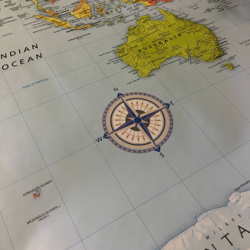
In most maps, the north is always at the top. If you want to be sure, you can always find the compass rose and see where it is oriented. We assume that if there is no compass rose, then the map is positioned north. There is also a ratio at the bottom of the map expressed as a scale or scale bars. The scale shows the relationship between the distance of points in a map and the distance in real life. Interestingly, when the number after the colon is bigger, the map is less detailed.
TOPOGRAPHIC LINGO
You can use a topographic map to show the shape of the Earth’s surface by using contour lines. You can also use topo maps to recognize different features that could impact the way you navigate through terrain; such as streets, trails, streams, vegetation, etc. It all sounds so magical but it is quite simple.
There are three basic things you should start learning: Contour Lines, Colors, & Scales.
___
CONTOUR LINES mark a path or segment of equal elevation on the map. These paths are conferred as elevations and reliefs. When reading a topo map you’ll most likely encounter three kinds of contour lines:

- Index lines are the thickest contour lines and are usually labeled with a number at one point along the line. This tells you the elevation above sea level.
- Intermediate lines are the thinner, more common, lines between the index lines. They usually don’t have a number label. Typically one index line occurs for every five intermediate lines.
- Supplementary lines appear as dotted lines, indicating flatter terrain.
Just remember the closer the lines, the more rapid the elevation change.
___
Learn to differentiate COLORS on the map and your journey ahead just got easier.
- Brown=Contour lines
- Green= Vegetation
- Blue=Water (duh!)
- Black=Most likely will be man-made objects, including trails.
- Red=Roads or boundaries
___
A topo MAP SCALE tells you how detailed your map is. A larger-scale means that the map will have a smaller area coverage but more detail. You can also use the scale to help you visualize distance. Hiking distances are no joke, am I right?!
You can also orient yourself with the map. Look at the map and look at features like roads and bridges or even rivers and see if you can locate where they are in real life.

More topographic map symbols here. Download free topo maps here.
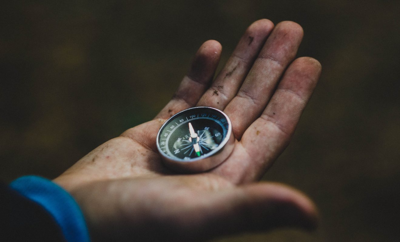
Tools To Navigate
A compass has a rotating bezel and a base plate. The needle will rotate as you move. You need to orient your map in the right direction and pick out features around your location. It is important to remember to turn the map and not the compass. Practice using a compass even in poor weather to avoid any surprises.
You can also use a declination magnetic calculator to find and adjust the variation between the true and magnetic north. You have to first refer to your map before you change the magnetic declination. Then turn the middle of your compass according to the angle of declination.
Through practice, you can familiarize yourself with identifying features; that way, when you find yourself in a situation where you need a map, it will be just as easy as using your phone.
Did you like our travel tips? Let us know how we did and visit our website for more about travel, geography, mapping, and more!
