

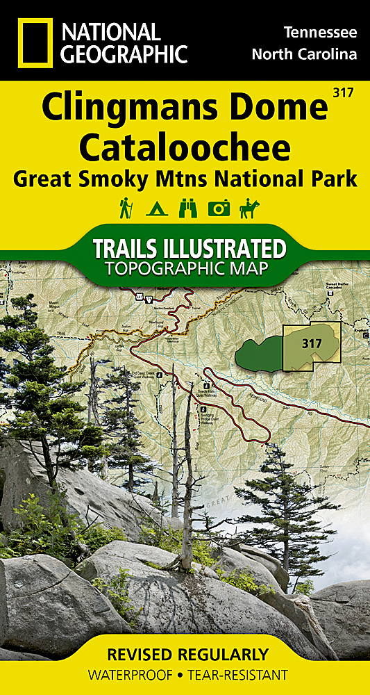
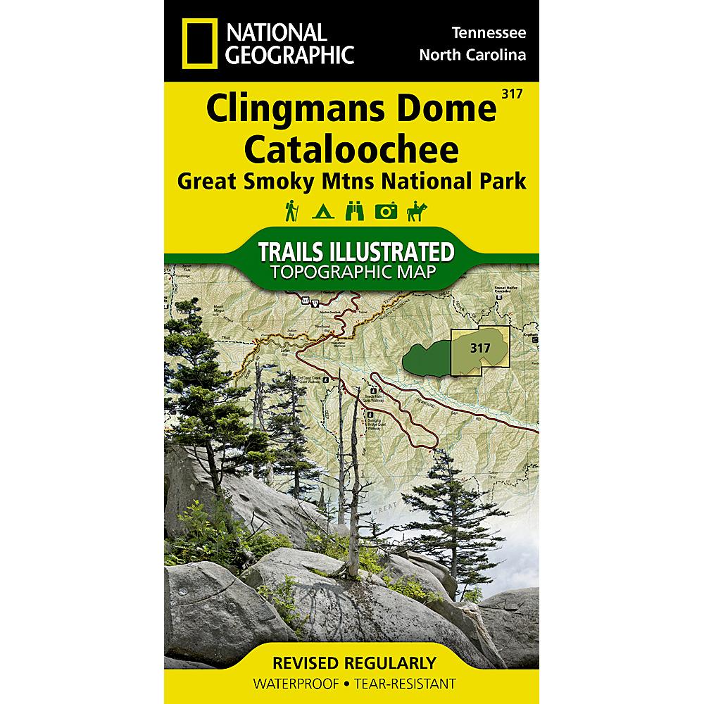

National Geographic – Great Smoky Mountains National Park East: Clingmans Dome, Cataloochee – Trails Illustrated Folding Travel Map
$11.95
Published: 2021
National Geographic’s Trails Illustrated map of Clingmans Dome and Cataloochee, covers the eastern part of the park, from Sugarlands Visitor Center to the eastern boundary of the park with Pisgah National Forest.
Publication: 2021 || Size: 25.5″ x 37.75″
In stock
America’s most visited national park and a UNESCO World Heritage Site, Great Smoky Mountains National Park is both renowned for its diversity of plant and animal life and rich in remnants of Southern Appalachian mountain culture. National Geographic’s Trails Illustrated map of Clingmans Dome and Cataloochee, covers the eastern part of the park, from Sugarlands Visitor Center to the eastern boundary of the park with Pisgah National Forest.
Created in partnership with the National Park Service and others, the map combines unparalleled detail and valuable information for outdoor enthusiasts seeking to explore all the area has to offer with particular attention shown to backcountry campsites, shelters, and stream crossings. The map features many key points of interest as well, including Mount Le Conte, Balsam Mountain, Roaring Fork and Newfound Gap. The park map has clearly marked trails with mileages between intersections. The map base includes contour lines and elevations for summits, passes and many lakes. The map also includes lists of backcountry campsites and shelters along with their location, elevation and capacity.
A detailed profile of the Appalachian National Scenic Trail, which snakes along the ridge of the Great Smoky Mountains, provides a handy tool for hikers. Some of the many recreation features include: visitor centers, campgrounds, trail shelters, trailheads, boat ramps, scenic overlooks, waterfalls, lookout towers, interpretive trails and quiet walkways.
Every Trails Illustrated map is printed on “Backcountry Tough” waterproof, tear-resistant paper. A full UTM grid is printed on the map to aid with GPS navigation. We love technology and enjoy the convenience of GPS, but you can’t plan a trip on a phone screen and navigation doesn’t work where there’s no cell signal. Start your next trip on the right foot with a high-quality folding travel map. Make the most of your next adventure, even if you lose GPS or cell signals. You’ll always be on the correct route with our folding travel maps. Your adventure starts here!
Coverage Includes
Clingmans Dome, Great Smoky Mountains, Mount Chapman, Mount Le Conte, Newfound Gap, Old Black, Pisgah National Forest.
What is a Trails Illustrated Map?
With more than 250 titles available for America’s favorite outdoor destinations, Trails Illustrated maps are the most trusted and popular recreation maps available. Continually setting the standard for accuracy, each map is crafted in conjunction with local land managers and undergoes rigorous review and enhancement before being printed on waterproof, tear-resistant material. Each Trails Illustrated map contains detailed topographic information, clearly marked trails, recreational points of interest, and navigational aids.
About the Author
Founded in 1915 as the Map Department of the National Geographic Society, National Geographic Maps is responsible for illustrating the world around us through the art and science of mapmaking. Today, National Geographic Maps continues this mission by creating the world’s best wall maps, outdoor recreation maps, travel maps, atlases and globes that inspire people to care about and explore their world.
Back-Orders & Out of Stock Items
If the item is currently out of stock it will ship as soon as we can get it. This will be shown in the “Normally Ships in” section above. If the item is on backorder you will recieve an email with updates as we recieve them. Our goal is to get your products to you a quickly as possible!
Returns
We offer free returns within 30 days for this product. Contact us within 30 days of receiving your product to receive a return authorization number, which you can write on the box and ship back to us. We will issue your return within three days of receiving the product back. **We do not refund the initial shipping charges and you’re responsible for shipping charges to get the product back to us unless we made a mistake in the order.
| Publisher | National Geographic |
|---|---|
| Language | English |
| Published | 2021 |
| Print Series | |
| Map Scale | 1 : 40,000 |
Whether you are getting a map as a piece of art or getting something to fit a business need, we can make it. A custom decorative map can tell a story of where you have been or where you want to go. It can be a great gift for someone or a unique piece of art for yourself.
On the business side, we have been making custom maps for companies around the world since 1996. Our customer list includes a wide range of organizations like Hollywood Studios, Homeland Security, Jehovah’s Witnesses, Harris Teeter, and Domino’s Pizza. We provide a wide variety of maps to fit any need your business will need. From territory map to a delivery map and everything in between, we can make it.
To reach out about a custom map, click HERE!
