

Seeing countries and continents etched out clearly while being able to pinpoint the different water bodies – a world map has classic appeal. They are not only a visual treat, but they inspire imagination at the same time.
Have you ever seen any travel enthusiast using GPS navigation tools instead of traditional paper maps as they get going to explore the world? No, you probably haven’t – because paper map still dominates its electronic counterpart with many advantages when it comes to traveling the world.
If you’re one of those enthusiasts, you know that picking the right map makes all of the difference, and you certainly don’t want to end up taking the wrong turn. Do you know what features you’re looking for? Or how to choose what map is going to be best for your current spot? Here are some tips and advice as they relate to all of the most widely used maps. Keep reading and find out who the true winner is!
Why are World Maps Special?
- Visual Appeal
Sight is the dominant sense for most people, and when it comes to information delivery, it is always best done in visual mode. Organizing information and presenting it in an interesting way is quite tough. Whether you arrange it by time, chronologically, or alphabetize it, the scope is limited. But when it comes to spatial organization, the system that arranges things by where they are, provides clear insights, along with the potential to visualize information – these world maps are the perfect example. - They are fun!
Traveling should always be enjoyable – it can’t be mechanical and structured like a project briefing or presentation. When you look at these world maps, it gives you a unique sense of your surroundings. Zero in on a location and find out about its neighborhoods, streets, highways, landmarks, sites, and geographical features like waterfronts, mountains, and forests – pinpointing and marking out routes on a map is so much more exciting. It infuses a sense of adventure when you travel while following directions from a map. - Great for Educational Purpose
Nowadays, students are mostly glued to their laptops, tablets, or mobile phones, while playing games for hours or idly surfing the Internet. It is time to get them interested in a constructive activity with these world maps. With accurate geographic references and vividly marked continents and countries, water bodies, mountains, islands, it piques their interest to know about different places, their history, geographical information, what to do there, and so on. Be it the color palette, large fonts, or graphical aspects – everything is designed so that students focus their full attention on the maps and try to connect with the world they are living in, by learning more about it.
What’s the best World Map for you?
These world maps are bright and colorful, which stimulates both sides of the brain – be it the right side, which is intuitive and aesthetic, or the left side that rationalizes and analyses. These world maps give you opportunities to explore your imagination beyond boundaries and channel that excitement you feel while traveling and learning about new places. Let’s explore the different options!
World Scholar Wall Map
PROS:
+Bright colors
+Clear labels
+Perfect for teaching
CONS:
+Not the best option if you’re looking for the most detail you can find in a World map
+Largest size we can print is 54″ on the short side
Bright fun colors are what you can expect from the Scholar map. This is one of the most up-to-date World maps that you will find. The Scholar is one of the most popular maps for parents and teachers. The big clear labels and detail simplicity makes this the best map for a quick reference or if you’re trying to teach geography to the little ones.
Turner Contemporary World Map
PROS:
+Bright & distinguishable colors
+Clear borders
+Great detail
CONS:
+Odd print size
+Small font
This wall map focuses on color, which you can see at first glance. the bright hues make the rainbow look plain in comparison. The Turner Contemporary makes it easy to identify mountain ranges and other natural phenomena. There’s something about this map with that sleek black border and that bright contrast that makes it perfect is for schools and offices.
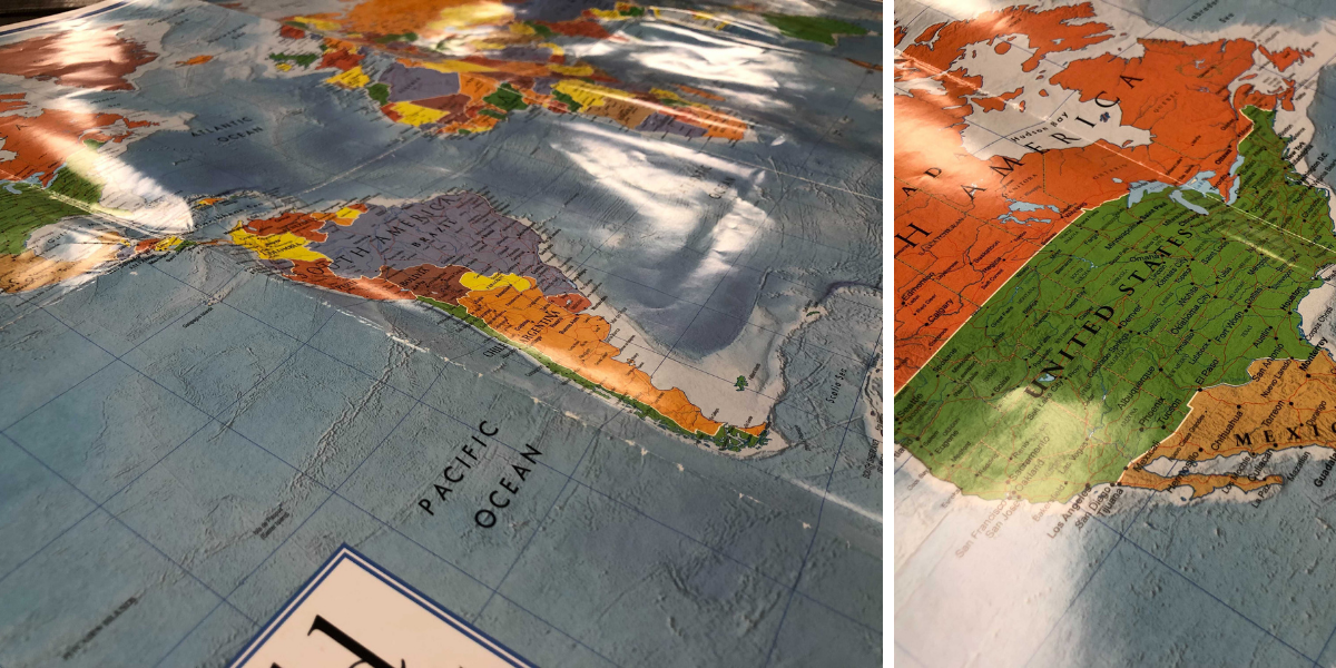
World Classic Premier Wall Map
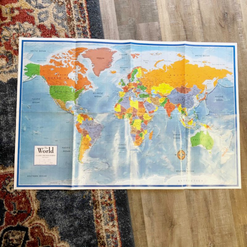
PROS:
+The map has shaded visual terrain relief for both land and water
+Bright colors
CONS:
+No lamination
+Creases
Size is always an important factor to think about when looking at maps. As far as its actual dimensions are concerned, this one does well with its total size — measuring 48” x 72”. This is up to date with the modern countries and names all in the right place. Some find that the paper isn’t quite as strong as it could be, leading to rips and tears with lots of use. Unfurutnately you can not use markers on this map due to the lack of lamination options.
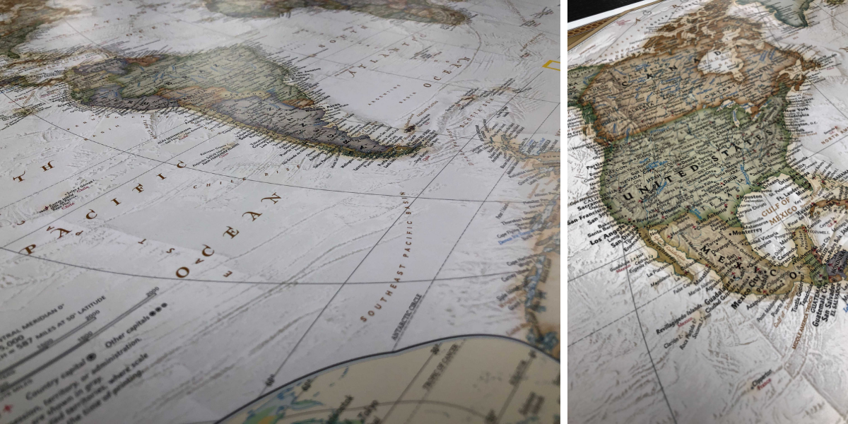
National Geographic World Executive
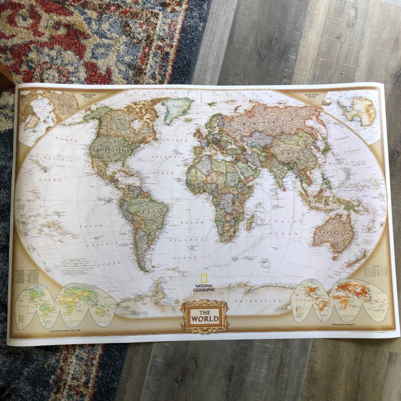
PROS:
+3 different size options
+Classic Style
+Perfect office decor
CONS:
+Small font
+No clear state lines
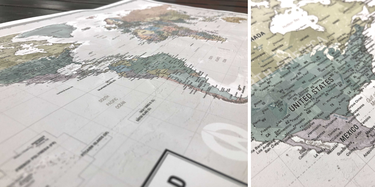
We can’t make a list of World maps without mentioning an old-time favorite, the NG Executive map. This map uses an antique-style color palette that provides a richness perfect for any classic decor. Drawn in the Winkel Tripel projection, distortions are minimized and unlike many other World maps, Greenland is shown the same size as Argentina and not as the size of all of South America. This map is especially popular for office spaces that need different size options.
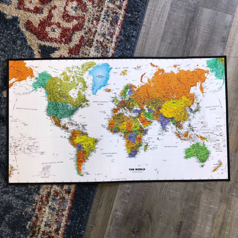
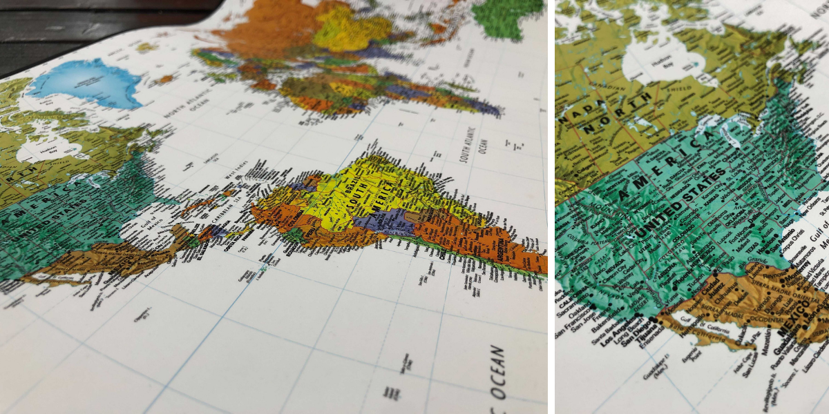
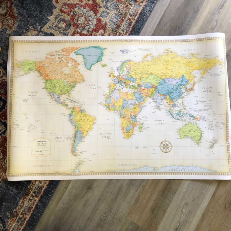
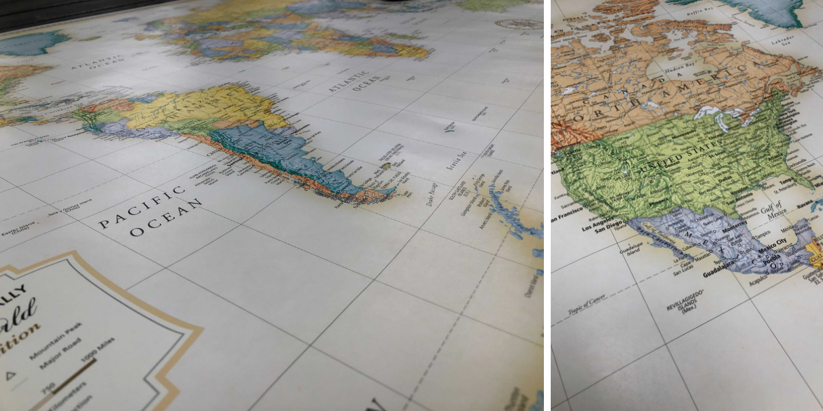
Rand McNally World Classic Wall Map
PROS:
+Different colors
+Subtle labels
CONS:
+Only one size available
+Not very unique
The Rand McNally Classic map is known as one of the most popular maps made by a company that has years in the industry. Rich and subdued colors on parchment-like paper texture give this map a sophisticated old-world style while delivering digital accuracy and extraordinary clarity. If you’re looking for something more modern this might not be the map for you but if you do want to give it a try, it will surely bring some old-school charm to your space.
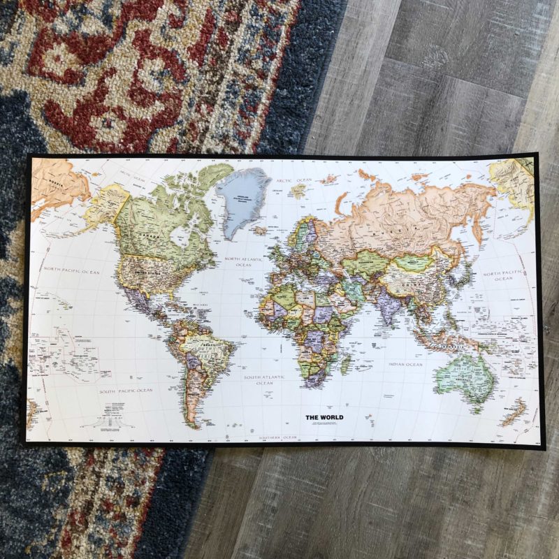
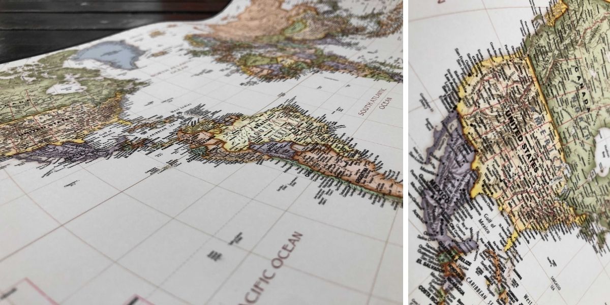
Turner Legacy World Wall Map
PROS:
+Classic style
+Up-to-date map
+Good for decoration
CONS:
+Odd size
+Small font
For those that want something a bit more traditional, this legacy style world map has clearly noted borders and lots of detail within its labels so that you can firmly and easily see just how all of the divisions factor in. Particularly helpful for when you are working with a large audience where those lines need to be as clear as possible. This can be helpful for use in class and office work. It also has a throwback vibe with its colors that is still up to date in modern countries and boundaries. This classic map can be considered perfect decoration but the standard print sizes are a bit odd so it might be hard to find a matching frame.
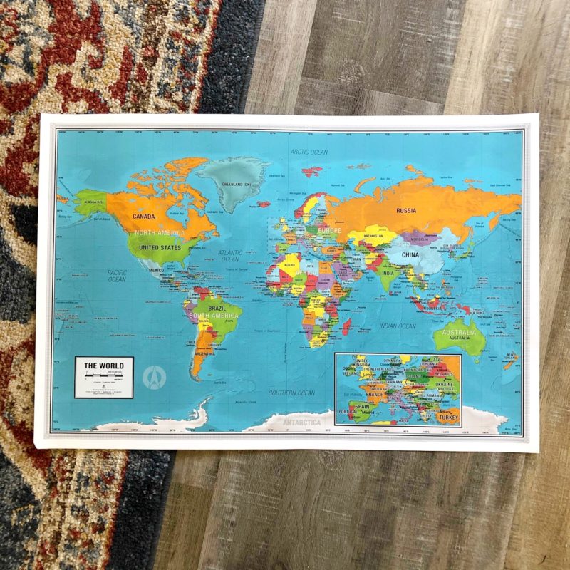
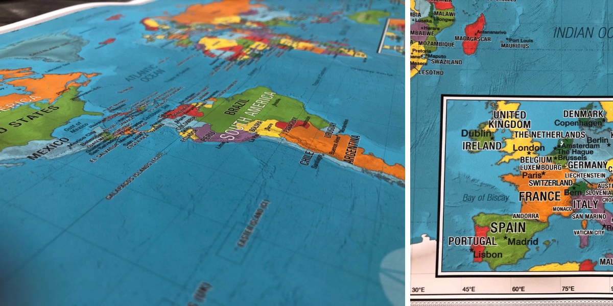
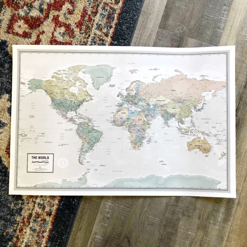
World Odyssey Wall Map
PROS:
+Our winner!
+Most up to date map
+Sleek colors that go with every style
+Map fits with many decor styles
CONS:
+Biggest size we can print is 54″ on the short side
The modern colors of the Odyssey map and careful lines that mark the borders and oceans make this a very sophisticated choice. Amongst its many perks, you’ll enjoy calming colors that you can easily distinguish. You’ll also enjoy the most updated countries and borders, and carefully labeled countries with large fonts for easy reading, even at a distance. Perfect for those that want all of the perks in one simple wall map.


Most people don’t realize that there is so much choice in the world of map selection, but there are plenty of ways to get the right map for your needs. This guide will help you get an introduction to the best maps that are out there so that you can use the information to help you make the right purchase every single time.
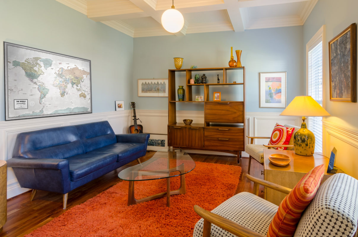
Having a physical travel map handy lets your plan tours more accurately, as you know which tourist spots and scenic routes you wish to pass, along with other information regarding medical services, tourist centers, adventure sports, shopping, sightseeing, and much more.
To put it in a nutshell, maps let us arrange information in a spatial manner, which helps to better understand the world we inhabit. These world maps make it all the more entertaining to learn about new countries, cities, and places – it sparks creativity and imagination like never before!
– Let us know what you thought of this article and what your favorite World map is! Reach out and share your thoughts with us at www.mapshop.com
