

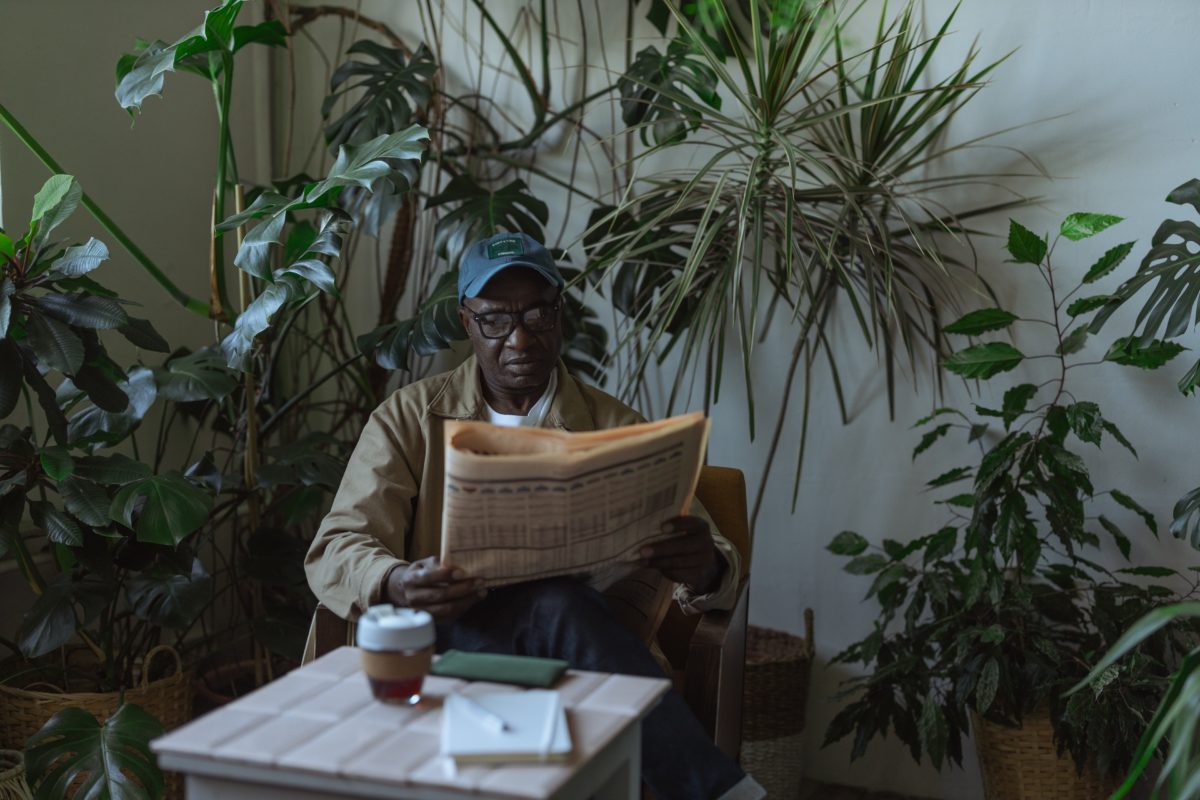
As we’ve recently established, maps make for great aesthetic choices. They can be used to decorate your walls, make furniture more visually interesting, and can create some genuinely cool accessories for any home. But at their roots, maps are unique educational tools, giving us a birds-eye view of our world in all its grand, messy, and sometimes confusing totality.
No two ways about it, they’ve been integral to our history as a species – aiding us in exploration, allowing us to plan for expansion, and giving us the context we’ve needed when encountering new people and places. We can learn a lot from them. Looking for your own ways to learn from them or teach others? Here are five simple ways you can use maps for educational purposes.
1. Identify Location of Current Events
Smartphones and television are wonderful inventions. Turn the channel over to CNN or open up your favorite news app on your phone, and suddenly a whole wealth of knowledge is available right at your fingertips, leaving you now up-to-date with the biggest goings-on around the world – and all with little effort on your part.
That said, though, the information we do learn is still often hard for us to grasp, remaining a little abstract in our minds even though we know it’s true and happening right now. Maps can help out here.
Highlight exactly where the action is happening, pointing out any surrounding others involved in the conflict or event, and the bigger picture suddenly becomes significantly clearer. Equally educational and impactful, it’s perfect whether you’re teaching in the classroom or are just trying to personally understand where something important is happening.
2. Bridge the Past & Present
When we think about events that happened in the past, there’s a certain amount of separation that we all (or at least, most of us) feel. It’s the natural effect of time. It offers up a barrier between us and what once was, seemingly shielding us from truths, consequences, and parallels that might exist from then to now. But the reality is that both yesterday and centuries ago aren’t that far away in the grand scheme of things! They still leave a lasting impact and histories to be inherited. And when it comes to locations, we still share the same ground as those from centuries ago.
Maps are a great way to visualize this as they can bridge the past and present. Want someone to feel more connected to ancient history or more deeply understand what daily life was like a couple of hundred years ago? Compare maps from back then to now. Show what’s changed and what’s stayed the same. They’ll quickly see that the divide we’ve got in our minds isn’t quite so stark in the end.
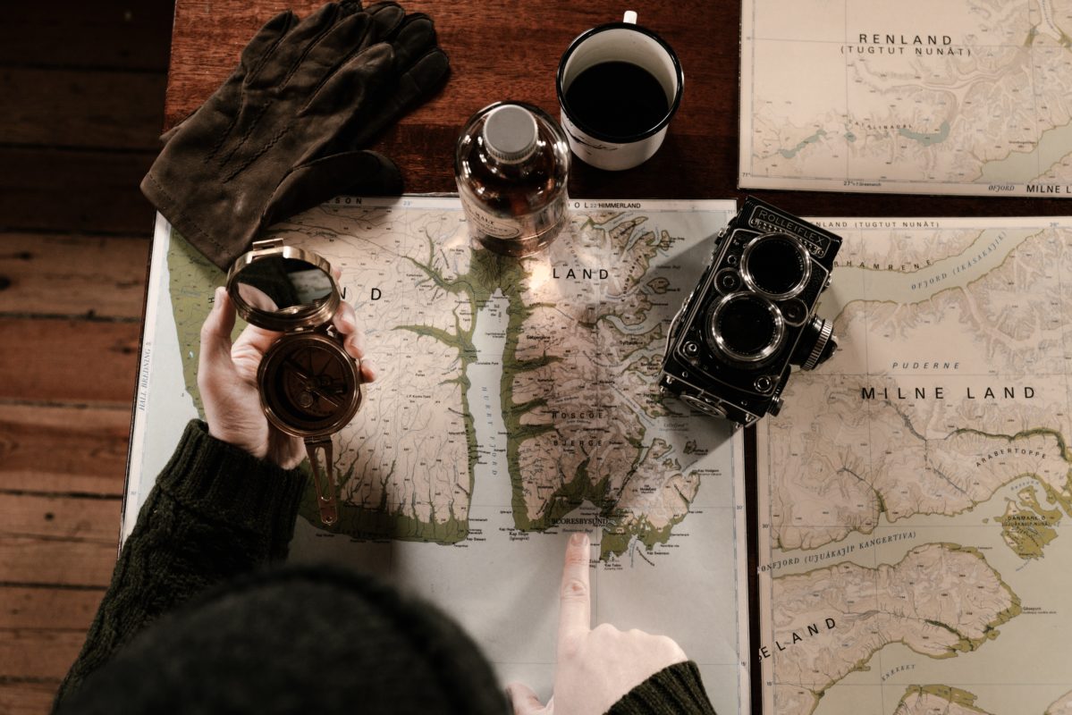
3. Demonstrate Relation of Space
Maps have been used for educational purposes for just about as long as schooling has been around. There’s, in fact, a whole subject that completely revolves around their use – geography. They’re beyond crucial because they allow us to explore and understand the world around us even if we never step foot outside our own borders, give an easy-to-digest representation of what our massive world looks like in its entirety.
Yet maps can also be used in a slightly more focused way, demonstrating how certain areas are separated or fit together. Continents, countries, states, even towns, and roads can all be represented. That gives people a chance to see how these spaces relate to one another not only positionally but also potentially culturally, lingually, architecturally, and more since location and proximity have definite influences over all the above!
4. Give Context to Data
Okay, we’ve talked a lot about using maps on their own in various ways – to show relationships between nations, states, or towns, see the progression of civilization, and center current events where they’re happening. Yet maps can be used in more complementary ways, too, rather than taking center stage. One way to do this is to use said maps to properly frame information given or provide context to data.
For example: take subjects like global warming or disease spread. It’s one thing for people to hear about their worldwide impact, but it’s another thing to see it. Give people a map that clearly demonstrates what you’re saying, and it will leave a much more potent, long-lasting impact.
They’ll get a much better idea about the magnitude or severity of these issues and can see just where is being hit the hardest. In turn, they might take both more seriously and work on ways they can help. So, in a way, maps are more than educational – they’re transformative.
5. Visually Represent Globalization
Our world is huge, especially in comparison to us. Yet, somehow, humans have never gracefully accepted the small corner of such a giant. Instead, we’ve spread out, conquered new lands, connected with others no matter and far, and made ourselves truly global citizens. And this isn’t just modern-day, either.
Even people like the ancient Egyptians or Romans regularly traveled and traded with strangers from foreign lands. We’ve merely kept this up and have made the process a little easier thanks to air travel and the internet.
This globalization isn’t always readily apparent in our daily lives, though. We don’t tend to think about it or even realize its extent. That’s where maps come in. You can visually represent it, showing where food, electronics, clothes, or other exports come from and how that’s changed over the decades and centuries. It’s visually compelling and a wonderful educational opportunity to boot.
– Let us know what you thought of this article and if you have any questions! Reach out and share your thoughts with us at www.mapshop.com
