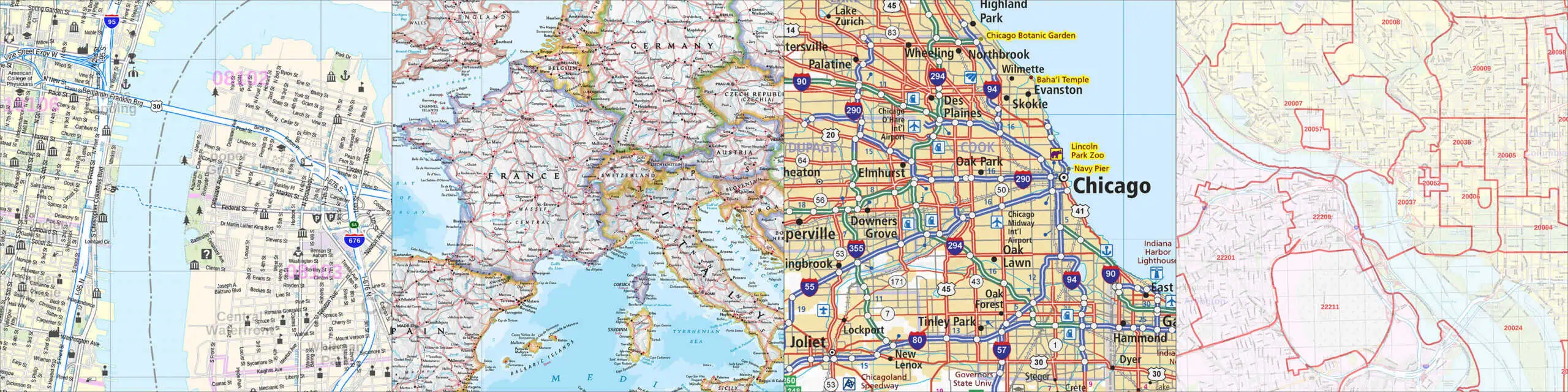
ArcLogistics Route
Call for a quote
"A Complete Vehicle Routing Solution", ArcLogistics Route gives you control
over the routing and scheduling of your fleet vehicles. By combining your customer
database with ArcLogistics' street database, you can quickly streamline your delivery
operations. Instead of having several trucks inefficiently operating in the same
delivery area, you can plan a route for each truck at the same time.
This lets you
cover more area while using the the resources you already have. Our
specialty is integrating this fine software with your order entry systems
Spatial Analyst
ArcView GIS Spatial Analyst lets you discover and understand the spatial relationships of
your data. You can use this ability to plan new locations for your business.
By analyzing economic growth potential, and existing locations, you can find the
optimum site for you. Another aspect is Land Use/Land Cover planning. What
kind of soils and vegetation exist in a location? How will development of a site
impact the ecological aspects of that site? Are there any pre-existing hazards
(landslides, flooding, etc...) that might pose a problem? Using Spatial Analyst you
can identify these factors and devise ways of dealing with them.
Network
Analyst
ArcView GIS Network Analyst allows the user to work with a variety of geographic networks
(streets, highways, rivers, utility lines, etc). With this information, it is easy
to produce models showing efficient travel routes, locations of the closest facilities,
and service areas based on travel time. With drive time analysis, the most efficient
route between several sales locations can be found. You can even print out detailed
directions based on the chosen route.
Image
Analysis
The ArcView GIS Image Analysis extension brings remote sensing capabilities to your
desktop. Through the use of aerial and satellite imagery you can perform spectral
and spatial operations that allow you to perform geographic analysis. This allows
the user to do site planning, selection and maintenance. It is also very useful for
determining landuse/landcover for an area to determine suitability for any project.
Business
Analyst Call for a price quote
With ArcView GIS Business Analyst, you can use your existing corporate information to
reveal trends and patterns that you might not have seen before. By visually
reviewing your data, Business Analyst helps you make better decisions, and shows you how
best to apply them to your operations. Where are your customers located, should you
add sales representatives for certain areas? Are you in the best location to provide
goods and services to your patrons? "ESRI's Arcview Business Analyst helps you
answer the questions that your business asks every day."
3D
Analyst Call
for a quote
Why limit yourself to two dimensional data and maps? Arcview GIS 3D Analyst allows
you to generate realistic 3D environments, which helps reveal more about the data you are
working with. With this extension, you can build accurate contour models of a
building site, add three dimensional buildings, overlay roads, and even show underground
utility lines. This wealth of information can help you design a site with less
impact on the surrounding environment, and help you solve problems before they arise.
The power of this technology is not limited to construction or site development,
but can be used by a wide range of industries.
RouteMAP
IMS Call for a
quote
RouteMAP Internet Map Server gives businesses and individuals the ability to serve maps
over the Internet. Businesses can help customers find their locations complete with
driving directions. RouteMAP IMS is designed to give you total control over the
Internet map publishing process, while remaining easy to use. Creating custom maps
with your own symbols requires no programming skill. The package includes both map
author and server software. You can choose from a variety of geographic data for the United States,
Canada and Europe so you can
get started right away!