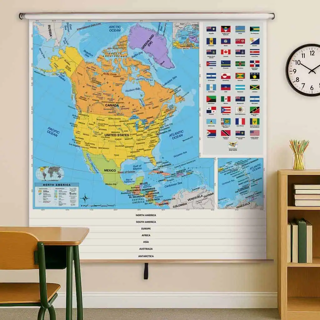
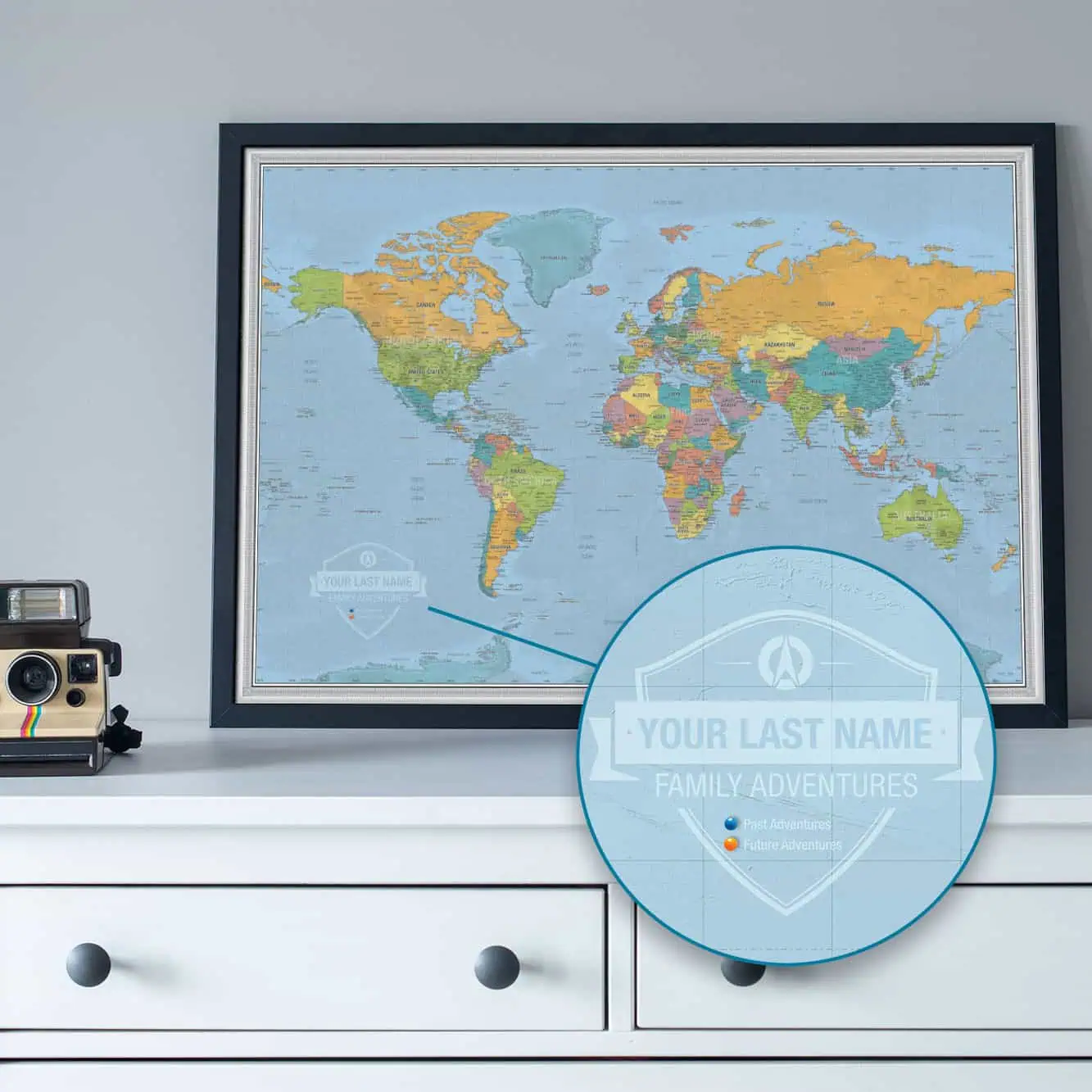
Adventurer's Corner     Click on a picture to see a blow-up.

IMG33.JPG (494992 bytes) IMG32.JPG (398153 bytes)
IMG21.JPG (456680 bytes)   Return to The Map Shop home page
These pictures of me and my son are from my own recent adventure into the Boundary Waters Wilderness Canoe area.   Nothing beats navigational products from The Map Shop to make a trip  safer and easier. The picture in the upper left is us looking at some topographic maps of the area. We also used the Garmin e-Trex Vista, and the Waypointer USGS to UTM protractor to convert points on the map to waypoints in the GPS.  Come in the shop and we will show you how.
Send mail to mapguy at mapshop.com (please replace the "at" and spaces with the @ symbol) with questions or comments about this web site.
Last modified: March 05, 2005