NGA Charts
NGA Charts are nautical charts developed by the National Geospatial Intelligence Agency (NGA). Please note that NGA charts are not updated often, so they may not be suitable for navigation.To find your chart, use the map-based navigation below, browse the categories below, or click the magnifying glass icon at the top-right of our website and enter your chart number. All of our charts are available on fine bond paper or on waterproof paper if you plan to use them onboard. NGA charts aren’t just for functional use – they make great decoration too! We can mount and frame any of our nautical charts, which make them the perfect decor for beach or lake houses. Framed navigational charts make perfect gifts for those that prefer to be out on the water. The intricate detail and clean style can fit into almost any decor. If you need help tracking down your chart, please click here to contact us.
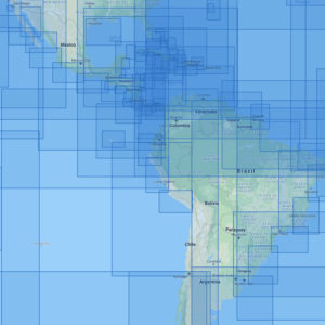
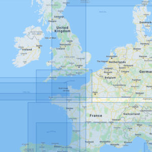
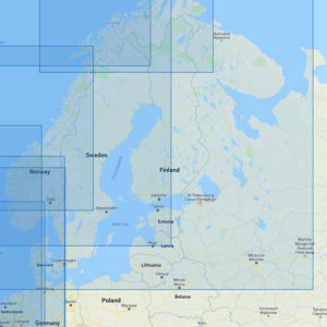
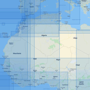
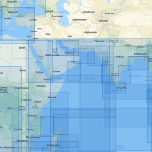
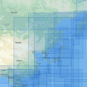
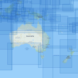
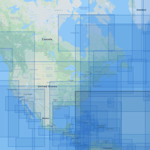
Click an area on the map to search for your chart
If this text continues to show, your browser is not capable of displaying the maps.