

Professional Driver Atlases
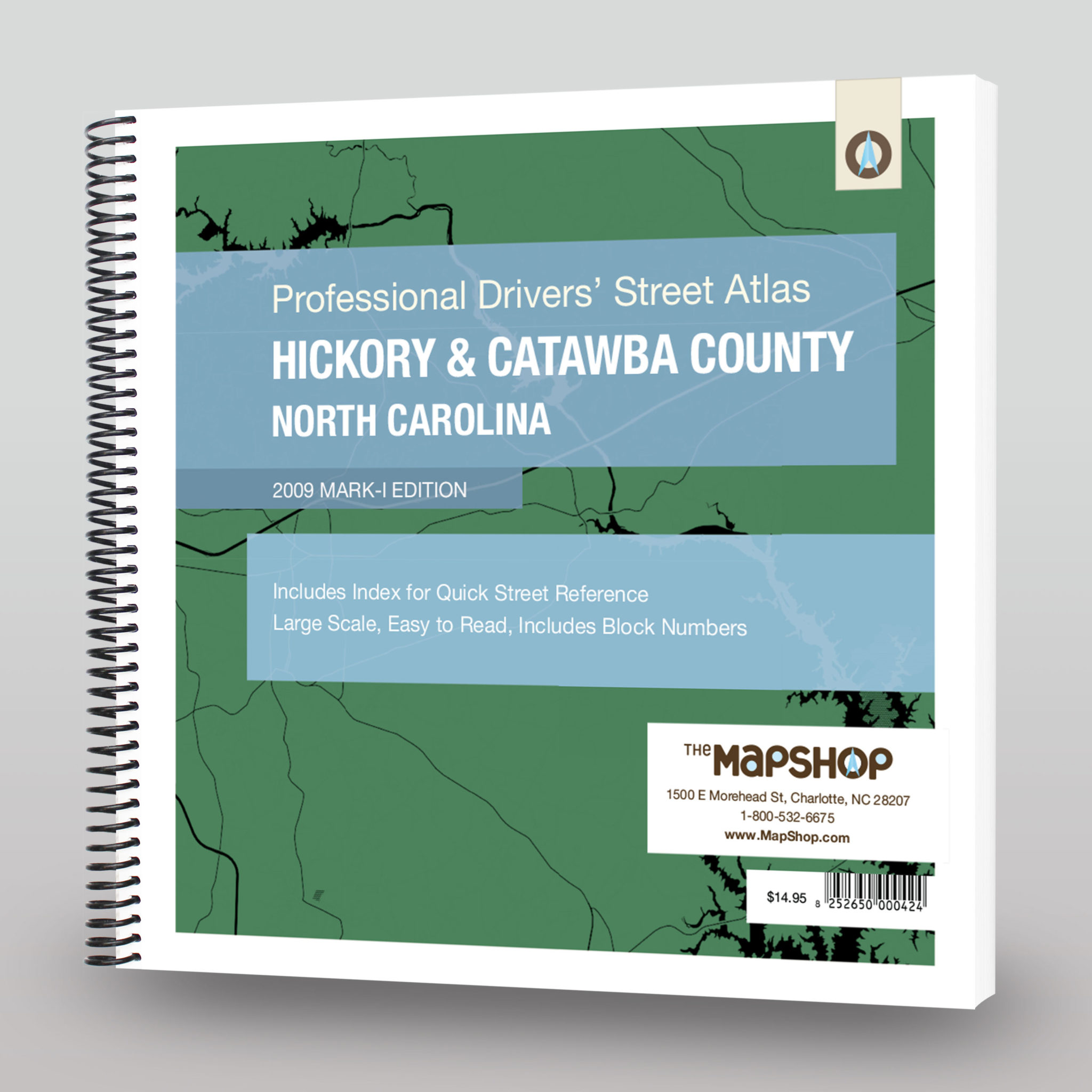
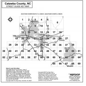
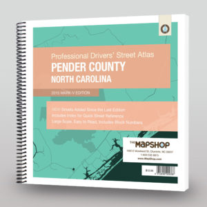
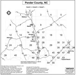
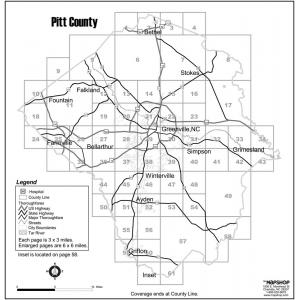
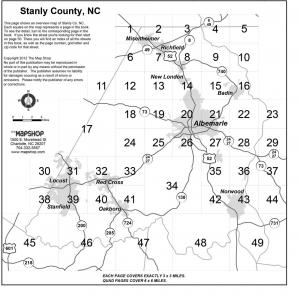
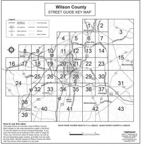
Our Professional Driver Atlases are county-wide travel atlases. Back in 1997, we decided that the professional driver needed a special type of map book that wasn’t currently available – one that was easy to read, up-to-date, and built to take daily use. We started making them in-house and the customer feedback was great. We now supply driving atlases to FedEx drivers, taxi companies, and fire departments…just to name a few. We hope to have every county in the United States completed, but we’re not there yet. If you don’t see the county atlas that you’re looking for, please contact us and we can develop one for you. Each atlas contains map pages with every known street and a quick-reference index in the back to quickly find the road you’re looking for. We update these atlases more often than some GPS data sets, so you can drive with peace of mind to find any address in the county.
All Products
All Products
All Products
Professional Driver Atlases
All Products
